Upper Calf Creek Falls & Boulder Mail Trail to Sand Creek – 7.4 Miles – 4/11/21
Happy birthday to Cathy and me! We share the same day but not the same year. The timing of our Utah trip intentionally coincided with celebrating a birthday together. No better way to mark another year than by going on an awesome hike. Since there are two of us, let’s do two awesome hikes!
Our first adventure was Upper Calf Creek Falls, same creek as yesterday, more remote location. While this hike is much shorter, the terrain is more challenging, there is no dedicated or obvious trail, and no crowds. Personally, I wouldn’t want to chase dogs and kids around on the slickrock slopes there.
The trailhead is about 20 miles east of Escalante on our favorite road, Byway 12, at an unmarked left turn onto a dirt road. There were just a few cars ahead of us. No camping is allowed at the trailhead and also no camping or fires within half a mile of the upper falls. I could see how tempting it would be.
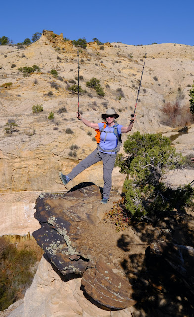
Just a few yards beyond the trailhead sign, the trail drops off the rim at the top of a steep expanse of Navajo slickrock. The guidebook Hiking Grand Staircase-Escalante and the Glen Canyon Region by Falcon Guide calls it a “moderately steep slickrock friction pitch” which, to this novice, did not seem at all moderate. After a few steps, Cathy went back to the car for her hiking poles, and again I was glad I had rubber tips on mine. The slickrock was actually pretty “grippy,” as were our hiking shoes. After the initial *gulp*, we adapted and gained confidence that we would see another birthday.
Round gray volcanic rocks and boulders are scattered along the slope. Some have been cleared and cairns have been stacked at irregular intervals to guide across the slickrock.
We followed intermittent cairns on the right that led us to a series of pools. We explored each pool as we walked further up the rocks.
Some hikes back home have waterfalls and some have scenic views, but it’s rare to have both. Standing beside these pools at the top of Upper Calf Creek Falls and looking at distant horizons on all sides, I was filled with awe at limitless Mother Nature. It drove home the delicate balance of protecting places from development and from ourselves.
The fact that there are no viewing stands, no roped off barriers, no warning signs, and very few people (we saw only three or four) is almost unheard of in North Carolina. Many places are being “loved to death” especially since the onset of the pandemic.
On the return hike, Mike brought up the rear and we waited quite a while for him, to the point where we wondered if he was okay. Turns out he had followed cairns to the lower view at the base of the falls. Oh well, next time!
For our second hike today we explored the Boulder Mail Trail, originally a route established in 1902 for mail to be carried by packhorses between Boulder Town and Escalante. A few years later, a telephone line was strung from tree to tree along the route (where all these trees were, I can only guess). By 1940, Highway 12 was completed and the Mail Trail was no longer needed.
Like Upper Calf Creek Falls, you must know where to look for this trailhead: take gravel Hell’s Backbone Road off of Byway 12, turn left on another narrow rocky dirt road at an unsigned intersection, cross the Boulder Airstrip and look for the trailhead sign.
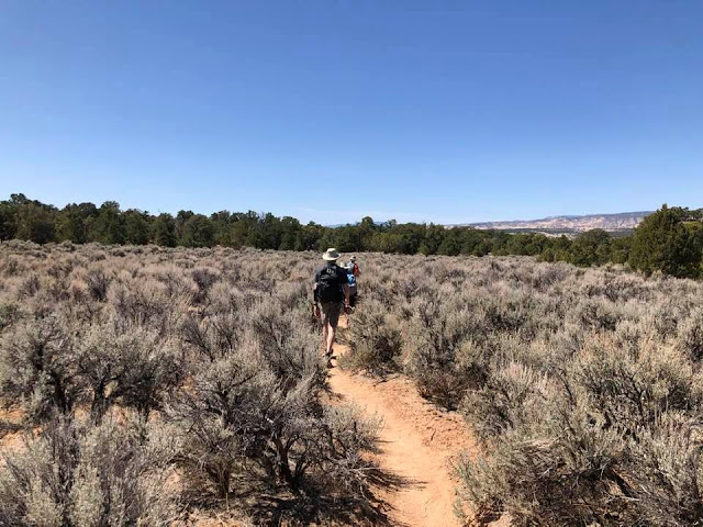
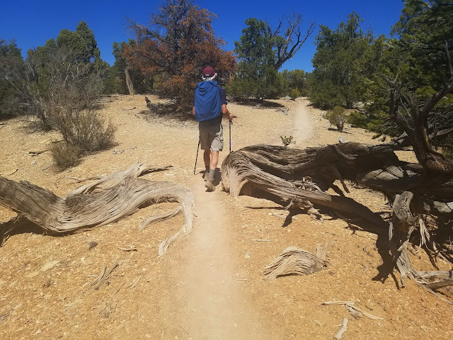
The trail was pretty flat for the first 1.5 miles, a sandy path through a mesa of pinyon-juniper woodland. LOTS of deep sand. We resigned ourselves to emptying our shoes multiple times on the hike.
and across the wide expanse.
We descended the slickrock, following a GAIA GPS track and cairns as we made our way deep into the canyon. At times it took some searching to find the cairns. [Cairns are nice to have but should not be relied upon as the only guide for a trail.]


We reached the bottom of this dry side canyon and followed it down towards its confluence
with Sand Creek. Amazing colors!
The banks of Sand Creek are choked with willow. We fought the brush for about a quarter mile looking for a place for lunch. Mike and Cathy scrambled up to a high place while Jim and I sat down by the water’s edge. Imagine listening to bubbling water in the desert! The essence of life in all environments, and the amount of water dictates the form of life that is sustained.
We had originally planned to hike further to Death Hollow, but the time of day dictated that we turn around at Sand Creek. What goes down 800 feet must now go back up 800 feet to the mesa. With so much to see in the wide open view, the hike back seemed totally different.
It’s not over until the happy birthday toasts are made! It was a Sunday night in Escalante and, alas, the local pub was closed. We returned to Escalante Outfitters, which was open but very busy, and they don’t serve alcohol without food. Jim ordered a BLT and we grabbed a table to enjoy our beer and cider. When we finished our drinks, the food still wasn’t ready, so we gave up our seats to some scruffy backpackers who had hitched a ride into town (and told them there was a BLT coming their way).
We walked across the street to Circle D Restaurant, which was having its own issues. The manager said their liquor license was “temporarily out” but we could go to the convenience store and bring in our own (wink wink). Jim went back to our house and returned with a cooler of beer. Ha!
“And in the end, it’s not the years in your life
that count; it’s the life in your years.”
~Edward J. Stieglitz


No comments:
Post a Comment