Maine 2021: Baxter State Park – Appalachian Trail Katahdin Summit – 7/14/21 – 8.7 Miles
Raise your hand if you’ve ever set an alarm for 4:30 a.m. so you can go hiking!
Jim and I traveled on misty back roads yesterday from Acadia National Park to the North Maine Woods: the town of Millinocket, Baxter State Park, and Mount Katahdin, the northern terminus of the Appalachian Trail.
We rambled around the sleepy town, taking note of the closed storefronts, more victims of the pandemic. A sign on the door of the Appalachian Trail Café announced closing daily at 1:00 p.m., serving breakfast only, suspending their lunch menu “for a while.” The owner told us they sell out of everything fast so they decided to get good at making breakfast, which we verified: the Millinocket special of chopped tater tots with onions and cheddar cheese topped with two fried eggs really hit the spot.

Of course, we didn’t come all this way for breakfast. Our goal is hiking the AT to the top of Mount Katahdin, a granite massif with multiple peaks. The tallest peak is Baxter Peak (5,267 feet), the official northern terminus of the AT. [It is also the high point of the state of Maine.] In October 2020 Jim and I hiked to the southern terminus of the AT at Springer Mountain, Georgia.
No permit is required to hike in Baxter State Park, but the parking situation is tough. After all, it’s a state park with state park funding and infrastructure, but its status as the northern terminus of the AT draws visitors from all around the world. I can only imagine the heartburn of managing all that and keeping the roads clear for emergencies. Through a complicated process, I scored a parking pass for Wednesday at 6:00 a.m. [If you don’t show by 7:05 a.m., they give the space to someone else.]
Choices for dinner were also limited in Millinocket, but while waiting in line at the only open restaurant, the Schootic In, we spotted the couple we met hiking at Schoodic Head the previous day. We raised a glass and swapped hiking stories over dinner.
Say hi to Rachele and Shane from Pittsburgh
Jim and I went back to our Airbnb where, suffering one of the worst cases of trailhead jitters I’ve had, I packed and debated and second guessed and repacked before lying down to wait for the 4:30 a.m. alarm to go off. Some of my worry was about the hike itself, its reputation as a strenuous, brutal climb, but also the unknowns of getting inside the park, dealing with the line of cars at the gate, how soon could we get on the trail.
We were on the road before 5:00 a.m., a quiet drive through town (just like in the daytime) and on to Baxter Park. We arrived at the gate, tenth car in line. People were out of their cars, swatting mosquitos, discussing plans for the day. Most of them didn’t have parking passes and were hoping to get in without one.
The gate opened at exactly 6:00 a.m. and the ranger began sorting cars: ones without a parking pass had to pull over to the right and wait until 7:05 a.m. to enter. Cars with passes could continue into the park. We were the first ones with the green light!
We checked in at a kiosk and gave our license plate number – the Baxter folks are meticulous about accounting for every car entering and leaving the park. Anticipation swelled as we drove 8 miles on the gravel road deep into the park to Katahdin Stream Campground day use area (not very big, maybe space for 20 cars.)
Do we have everything – water, food, hiking poles, good attitude? We started out with enthusiasm, signed in at the registration kiosk (another control point to account for people) and were on the AT by 6:30 a.m.
The AT is known as the Hunt Trail within Baxter State Park
Goin' up there
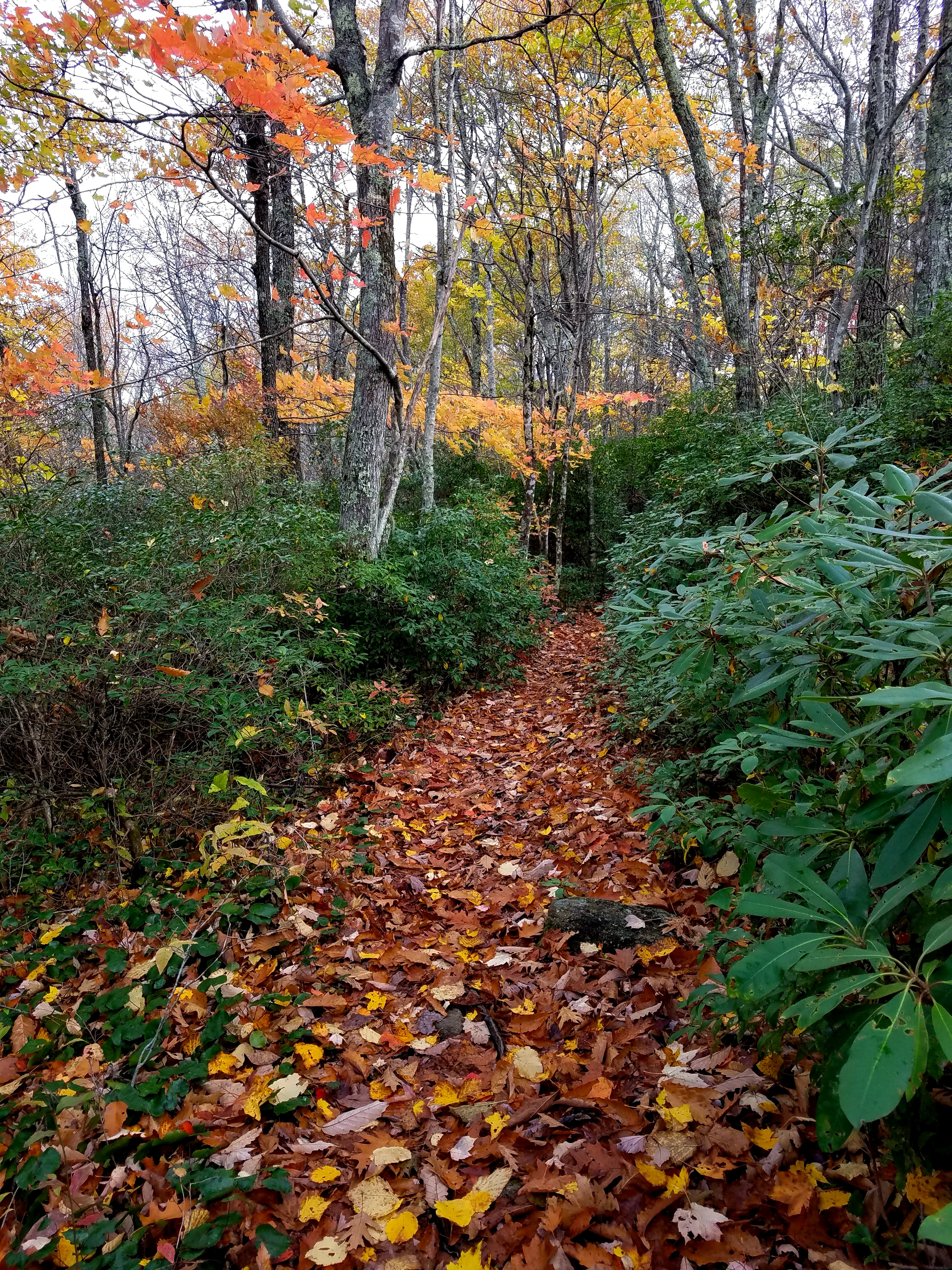
The first 1.2 miles to Katahdin Stream Falls felt exhilarating – white blazes! Early morning sunlight streaming, cool air, feeling the spirits of hundreds of thousands of those who have walked up this trail…too dramatic?
Katahdin Stream Falls
The last flat spot between the falls and the summit
The trail got steeper, drawing on my frame of reference of the Great Smoky Mountains ridgeline and the Black Mountain Crest Trail, alpine and evergreen firs and balsams. Guess what, Dorothy? Now we’re in the real dense Northern forest ecosystem, not just a place that is “similar.”
Mystical, mythical, magical
Large rocks and boulders took over, big tree roots competing for space
(thank you, Acadia NP, for the training).
Girl is all smiles, has no idea what is coming
Is there a trail through here?
I’m not even sure when I realized we had emerged above the tree line. I had my head down to confront the trail step by step. It seemed that the boulders became more difficult during the transition.
[Some people call this the Gateway, but I could never determine just where it began and ended.]Stretches of boulder field began to string together and all our focus was on following white blazes, scrambling up a big pile of jumbled rocks. Our now-useless hiking poles were stowed away to free our hands. Jim pulled me up more than a dozen times on vertical pitches when I could not reach a hand or foothold. (Most of the time I was able to fend for myself.) Our miles-per-hour slowed to a crawl as we stopped to evaluate every move. Just because a blaze was on a rock didn’t mean we had to climb that rock, sometimes it was best to go around it.
Are you KIDDING me?
Smiles gone
We paused for a break, trying to catch our breath and restore sanity. Owl Mountain is in the center of the photo below. I forced down a Kind bar despite my lack of appetite, trying to enforce the energy lessons I’ve learned.


Looking back
A freakishly fit adorable family out for a morning hike
A clear view up the spine of the Hunt Spur was the next (not the last) obstacle to overcome.
We were still only halfway to Baxter Peak.
We talked for a minute with a man and woman – Max and Hannah - who had been climbing behind us. Hannah asked us if we could hike with them because her husband was ill. Max was sweating so profusely, he looked like a bucket of water had been dumped on his head. He was running low on water and was vomiting. They would stop for a rest and then push forward a little more. Hannah was very worried, with good reason, but they felt like they couldn’t turn around [they absolutely should have turned around]. We agreed to stick with them.
Those clouds were moving around pretty quickly and I was worried about
getting separated in the mist
The scrambling became more strenuous and technical. Iron bars were placed for handholds and footholds (grateful for our “practice” run on the Beehive Trail). This Sisyphean push up the Spur was a blur.
We arrived at the Tableland, beginning a one-mile stretch of rocky but relatively flat terrain on a broad plateau to a trail junction.
Looking back down the Spur from the Tableland
Looking ahead on the Tableland; on the left, the final rise to the summit
was obscured by cloud cover
At the junction, the Hunt Trail continues straight to the summit, the Baxter Peak Cutoff Trail turns left to bypass it, and the Abol Trail turns right to descend steeply down the mountain to Abol Campground. Thoreau Spring is also located at the junction (not a reliable water source, though). [The spring is named after Henry David Thoreau, who attempted to climb Katahdin in 1846 and wrote about his fascination with the mountain in The Maine Woods.]

Mark and Hannah decided to abandon their hike and descend the Abol Trail from this point. Max just wanted to get off the mountain. Jim and I are discussing doing likewise after summitting Katahdin, rather than going back down the crazy boulder maze we’ve just come up. I felt like Max needed to stay still for an hour and not keep expending energy – clearly he was suffering from heat exhaustion. If he chose to stay put, we offered to descend Abol Trail with them after we hiked up to the top and back.
One more mile! Using my poles for rock surfing (now with rubber tips for more traction), our pace picked up a little. Then the trail pitch increased, the rocks got bigger, and again we were stepping carefully from rock to rock. I became obsessed by the sound of a hiker behind me, the metal tips of his poles tap-tap-tapping like an Edgar Allen Poe tale. Finally I stopped to let him pass.
Ropes to guide hikers through fragile terrain
People on the horizon!
What a thrill to see the iconic wooden Katahdin summit sign in real life – we made it! Happy hikers were waiting their turns for a photo, everyone willing to serve as photographer, sharing each other’s euphoria at a milestone achievement.
Jim and I sat down to eat lunch and revel in our accomplishment (joined by mosquitos and gnats, bug bites galore that continued to plague and itch long after our return home). Puffy clouds of white and gray moved across the deep blue sky.
Over my shoulder, I watched hikers approach the summit. Most were dayhikers like us, but there were also NOBO’s finishing and SOBO’s starting out, some laughing, some crying, all on their unique journeys.
A young couple walked up and the woman climbed on the sign while the man asked someone to take their photo. He handed off his phone/camera, then turned to the woman, got down on one knee and proposed. She screamed! What a moment!
 She said yes!
We stayed at the summit around 45 minutes, then backtracked to Thoreau Spring. Max and Hannah were not there, so we assumed they went down Abol Trail. Maybe we would catch up to them.
Beginning the Abol Trail felt like walking off a cliff, a steep boulder field that had its own character unlike the Hunt Trail/AT. I stowed my hiking poles in my pack again and concentrated on scrambling down, three or four points of contact at all times (regretted leaving my gloves behind).
I didn’t count how many times I had to hold on with both hands and lower my body down where the distance was too big to step or jump. My chest muscles and arms/triceps were sore for several days. Jim didn’t have to help me, though. He got ahead of me a few times as he scouted for blue blazes, but we worked well together in problem solving the descent. The intensity of the work again slowed our speed to less than one mile per hour.


We met a few people ascending with gritted teeth and grimaces of disbelief. One guy was very helpful, told us that the trail was rerouted across the boulder field/rock slide where it used to continue straight down, so we knew to look for blazes in that direction.
Below the boulder field we entered the tree line, starting with three-foot-tall scrubs. The trail was less technical but still extremely rocky, rugged and rutted with many steep steps. We ran across a trail building crew doing great work in the hot sun. We asked if anyone had seen Max and Hannah and learned that they had passed the crew and asked for water. [We never saw them again. Hope everything turned out okay.]


The last mile to Abol Campground was not pretty. Long steep descents are my nemesis and my right knee developed an irritated tendon that pinched with every step. I was CRANKY. Poor Jim! Near the trailhead, he pulled ahead to walk the road back to Katahdin Stream Campground to retrieve our car.
4:00 p.m. finish – 8.5 hours to hike 8.7 miles, 4,188 feet elevation gain - Hooray!
How do we celebrate? Jim and I bellied up to the only open bar in town: The Blue Ox, frozen in time with a dusty collection of eclectic junk from bygone days, two old guys behind the bar, and three equally old guys on the customer side. Some people might be put off by the atmosphere (is it friendly or suspicious?) but we’ve gotten comfortable with the unknowns.
We were served by Jim, who wasn’t really a bartender but “just helping out,” and he guessed on what to charge us for our drinks. He was quite the talker but also hard of hearing, so very entertaining. We couldn’t have had a more fitting place to toast our achievement. Bartender Jim called Katahdin “the mountain” as in, “Hey, these two went up the mountain today.” Cheers all around!

We picked up dinner from the only pizza joint in town, took it back to our place. Eating pizza, drinking beer and cider, watching Netflix, giddy with the immense relief that our intimidating, challenging, successful summit of Katahdin is now a great story!
“It is not the mountain we conquer, but ourselves.”
~Sir Edmund Hillary