Monday, September 27, 2021

Tahoe Rim Trail: North Fork Blackwood Creek to Tahoe City and Beyond

Tahoe Rim Trail: Day Four and Beyond – North Fork Blackwood Creek to Tahoe City
 8/16/21 – 14.5 Miles

I woke up at midnight smelling smoke. Looked up at the sky: no stars. Back to sleep. I woke again at 4:00 a.m., checked the sky again: twinkling stars. Back to sleep again.

At 5:30 a.m. I began packing up. Today we’re hiking into Tahoe City for two nights and a day of rest, reflection, showers and food, not necessarily in that order. 

Cold oatmeal again! 

Carol and I stepped onto the trail facing an orange-tinted sky and a red sun on the horizon, the most significant evidence of wildfires to date. Does that mean the fires are closer or does that mean the wind is just blowing smoke our way? No matter what, we’re heading to Tahoe City.

The first 2.5 miles were uphill, testing our lessons of the previous days. We practiced slow steps on long graded switchbacks, crossing rockslide sections. Hmmm…those backpacks don’t feel quite as heavy. The views into Blackwood Canyon were obscured by smoke, but our immediate surroundings were breathtaking in a different way.


Granite cliffs

On a switchback we stopped to talk with a southbound PCT thru-hiker called Abe Lincoln. He retired to part-time work so he can enjoy life hiking. (There’s a lesson for us all!) 2021 has become a bad year for PCT hikers. Like others we’d met, Abe had to skip a few hundred miles of trail because of the fires.

We crossed into the Granite Chief Wilderness and came to the intersection where the Tahoe Rim Trail diverges from the PCT…except we didn’t read the sign closely and marched merrily along until we realized we were on the wrong side of the Twin Peaks. This was the only oops detour of our trip. We backtracked, corrected our mistake and skirted around the base of Twin Peaks on the east side. We didn’t take the side trail to the summit because (a) it’s a bit technical, (b) no views today, and (c) we were discussing how much food we would eat in Tahoe City.

This-a-way!


Twin Peaks

A long relaxing break at the junction with Stanford Rock Trail:

From there we began a long and sometimes steep downhill through majestic pines cloaked in that ethereal wolf lichen – lots of downed trees here too – and passed through meadows of fading summer foliage and emerging fall flowers. Carol’s flower ID app kept us engaged through this section as the heat intensified.


McCloud Waterfall – pretty to look at but not accessible as a water source


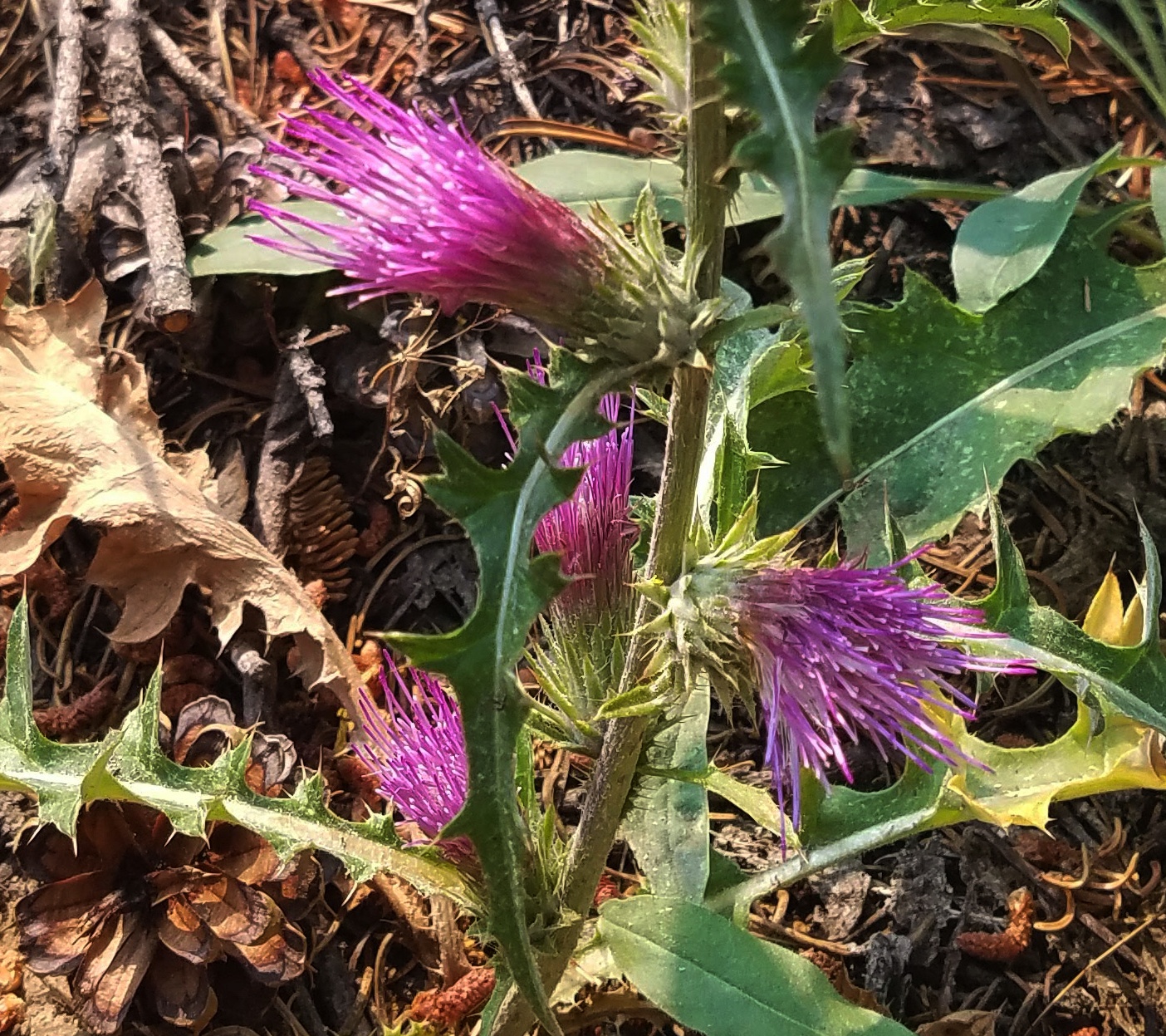
Mountain coyote mint

Anderson’s thistle

Fading Woolly mule’s ears

Woolly mule’s ears bloom (the only one we saw)

Waxy checkerbloom

At Ward Creek Bridge we stopped for lunch in a little bit of shade.
Down a steep embankment by the bridge, we filled up with water.

I stepped into the woods for a pee break and saw a dark flash. It was a small bear scampering away. How cute! Wait – is there a mama bear nearby?  I swiveled my head 360 degrees, then looked again at the retreating figure, decided it was bigger than a cub, probably a juvenile. Nonetheless, peeing was postponed.

Mountain biking is allowed on many sections of the TRT, but not on the miles that overlap with the PCT, which we parted from at Twin Peaks. We had been warned that they often come upon hikers without warning. As we sat enjoying our lunch by the bridge, our first mountain biker came around a curve suddenly, startling us, but he stopped to say hello as he waited for his friends to catch up.

It was noon and we had 7 miles to go to Tahoe City. We were feeling pumped for the home stretch – but the positive vibes were muted by that inevitable afternoon heat. Unfortunately, this was the most boring stretch of our trip. The first two miles beyond the bridge passed through a logging operation, a flat wide dusty road churned up by heavy equipment. Now, we’d hiked in dust before, but this was thick, throat-irritating, tire-tracks-deep DUST. 

Mike and his dog Sweet Pea at work


After crossing Ward Creek Road, the climb up to Page Meadows slowed us down. At a sitting rock stop, I misjudged and slid off the rock sideways (no way to stop as my pack weight pulled me over) and landed flat on my back. My good hiking buddy Carol busted a gut laughing! At least she didn’t take a picture, which I may or may not have done in the past when she took a spill.

The last miles into town were on steep, rutted mountain bike trail. (Somewhere in there we crossed paths again with the same mountain bikers from the Ward Creek Bridge.) My right knee ached and I felt hot, dirty, thirsty and over it. Like the proverbial cow heading to the barn, I barely glanced at the Truckee River tubers and the pedestrians ambling along the sidewalks of Tahoe City. 

Notice the beautiful blue sky…

Carol and I arrived at our America’s Best Value Inn oasis at 4:30 p.m. and began the transition from trail to town. (I’ll admit it took me an hour to calm down.) We checked in with spousal support, took super long hot showers and put on the only clean items we had – our sleeping clothes. 

Carol’s pedicure

Now, hundreds of people thru-hike the Tahoe Rim Trail every year and many more hike the section that Carol and I just completed. This was my unique experience. As with most big hiking endeavors, time makes the hard parts fuzzy while the good parts are magnified to epic legend. Case in point: my patty melt burger with cheese, caramelized onions and Thousand Island dressing at the Fat Cat Bar & Grill will live in my memory as the best burger of my life.

The next day (Tuesday, August 17) was a zero day to take care of in-town chores, laundry, sorting through our food packages that we had sent to ourselves at the motel, mailing home a box of unnecessary items…and eating and drinking.

At the Lost Sock Laundromat

Brunch at Rosie’s Café

Dinner at Tahoe Tap House

A new wildfire, called the Caldor fire, had ignited southwest of Echo Summit on August 14, the day after our start. This was the main source of the increasing smoke as the fire spread eastward. Between chores we spent most of our time searching for information about the Caldor fire. It was growing so big and so rapidly that already tiny bits of ash were falling in Tahoe City and large snowflake-sized ash blanketed South Lake Tahoe. Conditions changed hourly as we watched the TV news and scrolled the internet, trying to determine whether to continue our hike – and where?

I talked with Ceci Chourre, a shuttle driver familiar with the trail, and asked her advice. “If I was your best friend, what would you tell me to do?” Her reply: “Get the hell off the trail.”

On Wednesday, Ceci shuttled us from Tahoe City to Mellow Mountain Hostel in Stateline on the southeast side of Lake Tahoe. We adopted a wait-and-see attitude, hoping to get in a day hike on the east side of the TRT, but the Caldor fire raged on at an alarming rate. The smoke intensified and subsided with the winds. The hostel filled up with other hikers, some who were one day short of finishing the TRT and some who weren’t even getting to start. We realized that our hike was over.

Scenes from Mellow Mountain Hostel and South Lake Tahoe:


Priyanka Surio, our hostel bunkmate, an author and digital nomad

A stunning mosaic of Lake Tahoe in the stairwell

Hostel shenanigans

Lakeside Beach at Lake Tahoe on an ironically beautiful clear day

Staying hydrated

We flew back to the East Coast on Friday, August 20, 11 days early

EPILOGUE

Within the next 2 weeks after we returned home, all California national forests and Nevada’s public lands surrounding Lake Tahoe were closed, including the entire Tahoe Rim Trail. The Caldor fire touched Echo Summit, the western shores of Echo Lake and the southeastern portions of the trail. Many small towns and residential areas, including South Lake Tahoe, were evacuated.

As of this writing, the Caldor fire is 76% contained, thanks to the expertise and bravery of thousands of firefighters. While nearly 1,000 structures have burned, including homes, schools and churches, there has been no loss of life. Most folks have returned to their homes.

I don’t know that I will go back to the Tahoe Rim Trail. The window of hiking the trail after snow season and before wildfire season now seems to overlap, making a successful thru-hike unlikely. And yet…unfinished business…


Sunday, September 12, 2021

Tahoe Rim Trail: Phipps Creek to North Fork Blackwood Creek

Tahoe Rim Trail: Day 3 – Phipps Creek to North Fork Blackwood Creek
8/15/21 - 14.5 Miles


I woke up to a cool morning with a smoky tinge in the air and a colorless sky. On the bright side, I felt more rested than the previous day. And more cold oatmeal! I’m not a breakfast person but I’m working to eat more on the trail to regulate my energy levels.

Carol and I were judicious with our water carried from Middle Velma Lake yesterday, and before we left camp this morning we calculated how much we needed to hike 6 miles to the next source at Richardson Lake. I decided on 3 liters for me (2 in my hydration pack and 1 in a plastic bottle). I drank my fill before we set out and dumped almost a liter – again, the symbolic mental weight made my pack feel lighter.

I started out in front as the dirt (dust) trail continued its downward trend, weaving through the trees and heading north from Phipps Creek. There was a noticeable pick-up in our pace compared to the first two days. Less elevation gain? A good night’s sleep? Trail legs at last? Even the little bump up and over to the General Creek Trail junction seemed easier.

We noticed a phenomenon that we’d seen every day but seems more pronounced in this section – dead fir trees with branches that are cupped downward and drooping almost to the trunk, needles completely dead brown. They are among healthy trees with bright green needles on branches that curve up slightly. It looks like all the moisture was sucked out of them. Is it a destructive insect (bark beetle?) or drought – or both?

The forest was littered with deadfall that looked ready to burn. Yes, all forests have deadfall, and maybe we were reacting to the dry air that we were not accustomed to, but we talked about how fragile and highly flammable the area seemed.

Note: Campfires/open flames were restricted in El Dorado National Forest and there were no campfire rings at any campsites on our hike. During the Caldor Fire a red flag warning went into effect, meaning no camp stoves or anything that would produce a spark.

Moving at our brisk pace, Carol and I covered the 6 miles down to Richardson Lake in less than 3 hours. Along the way we identified some flowers and passed out of the Desolation Wilderness boundary.

Broadleaf lupine

Woodland pinedrops

Took a little sit-down break and I felt a strong sensation that we would never be here again,
so I took a photo for the memory books

Richardson Lake is nestled between the bases of Lost Corner Mountain and Sourdough Hill. It’s also accessible via four-wheel-drive dirt roads but we didn’t see anyone out and about. The campsites were empty on this Sunday morning. We took a leisurely break here and decided we still had enough water to get to the next source at Miller Creek (1.8 miles). Sometimes lessons must be repeated…

Richardson Lake

A sooty grouse mother and teenagers were hanging around the campsite, not bothered by us.
Were they habituated to food here?

Butterflies on asters were a cheerful sight

Miller Creek is a high water crossing in the spring, but today it was dry
 with a couple of stagnant puddles

Just past Miller Creek is the McKinney Rubicon OHV Trail, a dirt road that gives access all the way to Tahoma on the west shore of Lake Tahoe. It was a bit of a shock to cross paths with a Jeep caravan (we should have asked for water)!

The next possible water source was at Bear Creek (the outlet from Bear Lake) which was 1.7 miles further on the TRT. At this point we were hurrying (still downhill) and now conserving water. The sun was strong and we grew tired and had to slow it down. We were dismayed to find that Bear Creek was also dry. Don’t be alarmed – we weren’t in danger of dehydration or near death, but we needed to evaluate our options. We sat down in the shade to eat and think.

Carol consulted her Guthook app and saw a note confirming that the next possible water source, Barker Creek, had been flowing well a week prior. The note said “Flowing and very cold! I dumped the water I had collected at Richardson Lake for this nice, rushing source.”

We marched on for another 1.1 miles and there it was, a little stream flowing straight across
the trail - FLOWING steadily and deliciously cold. 

We dropped our packs, busted out the Sawyer filters and treated three liters each for the remaining 4 miles to tonight’s campsite. And we drank a lot! Then we took “bandana baths” because it just felt so good. I tried to scrub off the thick layer of dust sticking to my sunscreened legs.

With a quenched thirst and a new attitude, we hiked through Barker Meadow and up to Barker Pass. It was surprisingly easy – maybe because we were no longer worried about water?

Barker Meadow – enough sun to make shadows but the smoky haze was still with us

Barker Pass is a trailhead access point with a pit latrine, picnic tables and a couple of vehicles, and cell coverage if we stood exactly the right way in exactly the right spot. Carol and I were successful with phone calls home.

A hippie couple straight out of my 1970’s teenage years was at the pass, apparently living there for a while in their van. During our conversation we told them that they were sitting on Tahoe Rim Trail and Pacific Crest Trail, and they offered us bottled water – no thanks, we’ve got this delicious fresh super cold water! The young woman took our photo at the trailhead sign and we continued on our way at 3:00 p.m.

The remaining 2.4 miles of the day were the steepest uphill yet, through hot dry open meadows of fading woolly mule's ears foliage. It was tough going and we had to call on that good mojo from our magic Barker Creek water.

An odd moment: we caught up to a guy wearing full camouflage carrying a crossbow and a backpack full of arrows. We passed him by and didn’t see him again. (Hunting is not allowed within 100 feet of the TRT, but maybe he was just looking?)

At the top of the climb were two volcanic rock outcroppings. Beyond that point, the trail again descended and its character changed to shady trees and pleasant hiking. 

We arrived at the North Fork of Blackwood Creek around 4:00 p.m. We were skeptical as we walked through several tent sites – is this going to be a dry camp again? - but we found the creek running deep in a ravine. Guthook noted that there were more tent sites on the far side of the creek, so we scrambled up and found that indeed there were terrific spaces on the bluff. No other backpackers were there and none came in after us. The space felt very comfortable and very remote. (I was glad not to be there on my own.)

First things first – we walked over to the edge of the bluff, found a cell signal once again and sat to catch our breath and shake off the day. We’d hiked 14.5 miles in about 9 hours – what an improvement over the first two days! There was less elevation gain and we were motivated (?) by our quest for water, but we’d planned our rest breaks more strategically and had become accustomed to our backpack weight.

We returned to our tents and commenced unpacking chores. The resident chipmunks were bold, going after my day’s plastic bag of food and trash, so we took turns down at the creek taking luxurious baths and rinsing out hiking shirts while the other guarded the food supply.

My Lightheart Solo tent

Carol's Lightheart Firefly tent

We prepared and ate our supper in a spot away from our tents (keeping all food away from those chipmunks). We talked about tomorrow’s hike into Tahoe City, where we planned to spend the night and the whole next day (called a zero day) and night, before continuing on the next 4-day section of the TRT. Carol suggested we determine what we don’t really need now that we’re in the groove and package it up to mail back home (for example, we could pare down to one stove - my Jetboil - and one fuel canister and send home Carol’s stove. There were also extra clothes that we could let go of - goodbye, Smartwool quarter zip!)

After supper, we returned to the edge of the bluff and watched the smoke slowly drift through the valley, enjoying 4G and Facebook (feeling connected lifted our spirits). Then we stretched out in our tents as the daylight faded, both of us writing our own notes of the day. 

Day 1: I don’t want to do this!

Day 2: How can I shorten this?

Day 3: I know more now and I’m at least going to finish this first section of the Tahoe Rim Trail and start the next one. 

Day 4: to be continued...