North Carolina State Parks: Carvers Creek State Park & Weymouth Woods Sandhills
Nature Preserve – 11/7/21
Taking a scenic route home to Charlotte from Oak Island, NC, I checked out two more North Carolina State Park units. These gems are small but mighty in their roles of preservation.
 Carvers Creek State Park
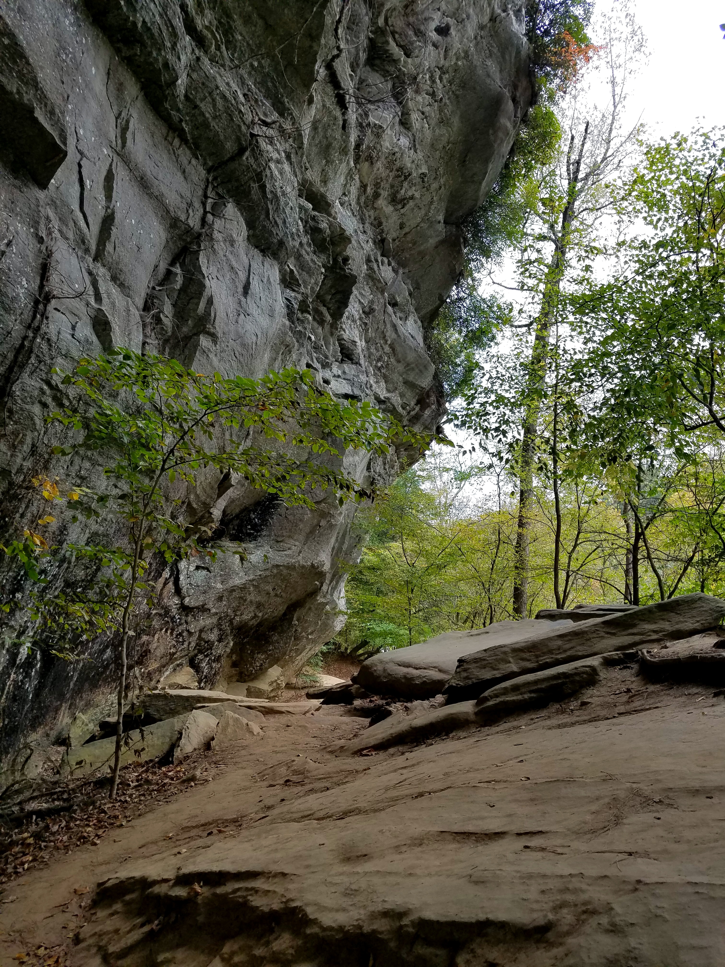
Rockefeller Loop Trail & Cypress Point Loop Trail – 3.1 MilesCarvers Creek State Park in Cumberland County is an intriguing combination of preserving natural habitat and human history.
Established as a state park in 2005, the park’s original land acquisition was 1,371 acres of longleaf pine forest in the Sandhills habitat of North Carolina, an area between the coastal plains and the Piedmont. Additional acreage adjacent to Fort Bragg was added soon after. Carvers Creek runs through this tract known as the Sandhills Access and there are 10.4 miles of multi-use trails. The only infrastructure is one entrance road to parking and restrooms.
A second tract (13 miles away, not contiguous to the Sandhills Access) was donated to the park in 2010: the 1,420-acre Long Valley Farm. This historic estate was a winter retreat for James Stillman Rockefeller (yes, those Rockefellers) on the National Register of Historic Places. In addition to the main house, there are farm buildings and a 100-acre millpond fed by Jumping Run Creek. There is a park office on the property with plans to renovate the Rockefeller house for a visitor center, exhibits and offices.
Read more here, here and here about the origins of Long Valley Farm and the Rockefellers. For example, did you know that James Rockefeller had the house built in 1938 when he was stationed at Fort Bragg as a lieutenant colonel of the U.S. Airborne Command during World War II? And that he married Nancy Carnegie (yes, those Carnegies) and she transplanted live oaks from the Carnegie estate on Cumberland Island, GA (now Cumberland Island National Seashore) to Long Valley Farm? It’s a small world.
I had time to visit one area of Carvers Creek SP and chose Long Valley Farm. The park office is located there, the human history fascinates me, and there are only two trails that form a Figure 8 so I didn’t have to choose which way to wander – I could see it all!
Park office at Long Valley Farm Access
Beginning at the park office, I walked on the Rockefeller Loop Trail, a sandy road that leads to the house. To the left is a longleaf pine forest and to the right is a grassy meadow. This is called “edge habitat,” where two different habitats meet. Birds, for example, have a variety of food sources, as well as nesting and hiding locations.
The house is surrounded by a wooden fence. There are several information signs giving descriptions of the house and the Rockefeller family’s philanthropic interests. This is the back side of the structure. (The front side faces the millpond.)
At this point, Rockefeller Loop Trail turns left and Cypress Point Loop Trail begins. Before starting down that path, I walked through an opening in the fence and wandered around to the front of the house, which I was a bit surprised to see was in poor shape. (There once were occasional ranger-led tours of the inside, but none were scheduled at the time I visited.)
I picked up the Cypress Point Loop Trail and followed it as it narrowed to a point jutting out into the millpond. The water was quite high after recent rains, no pond bank at all. You could walk straight into the pine needle-covered water if you weren’t paying attention.
Looking across the millpond to the front of the Rockefeller house
Such a serene setting, still waters mirroring cypress trees
with wide bottoms and tall straight trunks
I followed the Cypress Point Loop back to the Rockefeller Loop and turned right to continue clockwise to the boundary line, walking behind a row of houses separated by a screen of pine trees. I met a few locals walking their dogs on this stretch and a father with two small children. Together the kids were hauling a fat branch for some important purpose. Kudos to Dad for not directing their job of being kids.
From Long Valley Farm I drove about 25 miles on rural roads through Fort Bragg to my next state park destination.
 Weymouth Woods Sandhills Nature Preserve
Lighter Stump Trail & Pine Island Loop Trail – 2.5 milesAs a nature preserve, Weymouth Woods Sandhills Nature Preserve in Moore County is not intended for recreation in the traditional sense – you won’t find camping or mountain biking here. Instead, we can all enjoy quietly wandering among the longleaf pines in this area that was protected from logging in the early 20th century. In 1963, 403 acres was donated to North Carolina as the first natural area in its parks system. More land was acquired and the preserve is at 903 acres today. Read all about it here.
The preserve is comprised of three separate tracts – Weymouth Woods, Paint Hill and Boyd Round Timber Tract. Weymouth Woods has a Visitor Center and 7.3 miles of hiking/equestrian trails.
[Boyd Round Timber Tract is an old growth forest of longleaf pines, many that are between 250 and 450 years old. That includes the oldest known living longleaf pine in the world – THE WORLD, Y’ALL – dating back to 1548.]
I’m always drawn towards water, so my lollipop route today from the Weymouth Woods parking area included a few crossings of James Creek via Lighter Stump Trail to Pine Island Trail (a loop), returning on Lighter Stump Trail.

Lighter Stump Trail trends gently downhill through open longleaf pine forest,
a dry and sandy path carpeted in pine needles
After crossing the creek on a wooden bridge, the forest changes to hardwood swamp
with a rooty, soft dirt floor and occasional wet seeps
Choose your direction on Pine Island Trail and stay alert at intersections (signage is very good)
James Creek, still and sedate today
Back to Lighter Stump Trail
High mountains, thundering waterfalls, expansive views, and Atlantic Ocean shorelines – what an amazing state I live in! And the in-between places are magnificent in their own way. Any path in the woods is an opportunity for walking meditation, observing, listening, and staying open to what is before me.
I am exceedingly grateful for the North Carolina State Parks system, its partners and its supporters that preserve and protect places like Carvers Creek and Weymouth Woods.
Millpond at Long Valley Farm, Carvers Creek SP
“I go to nature to be soothed and healed,
and to have my senses put in order.”
~John Burroughs