Moonshine Falls – 1/2/21 – 5.7 Miles
A dreary downpour on New Year’s Day 2021 kept us cozy inside, making resolutions and watching football. Sunshine returned as promised for New Year’s Day Plus One, so Jim and Megan and I headed out on a Waterfall 100 Challenge hike on the edge of Caesar’s Head State Park in the Mountain Bridge Wilderness Area of South Carolina.
It’s not hard to guess how Moonshine Falls got its name. Selling moonshine was once an important revenue source for mountain folks. The remote location where the creek tumbles over the ledge of a large cave cut into the rock face was ideal for storing equipment and making the good stuff during Prohibition.
Several routes will take you to Moonshine Falls and Confusion Falls (read about them here). The most common routes are through Asbury Hills United Methodist Church Camp or via Naturaland Trust Trail in Caesar’s Head State Park. With the holiday weekend, we skipped trying to get permission from the church and chose a third way out-and-back route beginning on Pinnacle Pass Trail where it intersects Hwy 276 south of the state park. There’s a small pull-off for a couple of vehicles.
White-blazed Pinnacle Pass Trail heads up the ridge for a little over half a mile and intersects with pink-blazed Naturaland Trust Trail. (I don’t think I’ve seen a pink blaze anywhere else in all my hiking life. Love it!)
We followed the pink blazes along the base of Caesar’s Head’s rock cliff, slowly and deliberately picking our way around, over, and through an impressive boulder field. This slowed us down, trying to avoid tripping and rolling ankles. When the trail took a sudden left turn, I was a little dismayed to see we were now descending huge boulders, adding a degree of difficulty to the challenge. Thought to myself, “This will be a LOT of fun going back up.
I guess it wasn’t an accident after all.
At a large rock cairn, the Naturaland Trust Trail kept right and we turned left onto an unsigned trail, per the hike description we were following. Soon we reached a wooden signboard.
About half a mile further, there’s another unsigned intersection with a rock cairn. Here we turned left onto a short, steep descent to Moonshine Falls. [Remember, if you're following rock cairns, they won't look exactly like these photos because people like to add/subtract rocks!]
The trail leads to the base of the booming 40-foot freefall into a large plunge pool. I imagine that rainbows abound on sunny days. The carved-out cave is quite wide, but not too deep and dark to see the back wall. Who doesn’t love walking behind a waterfall?
We scrambled downstream to try for an unobstructed photo. Two things hampered us: aggressive rhododendron and a desire to stay dry. You really need to stand in the middle of the creek or on the far bank to get a clear shot.
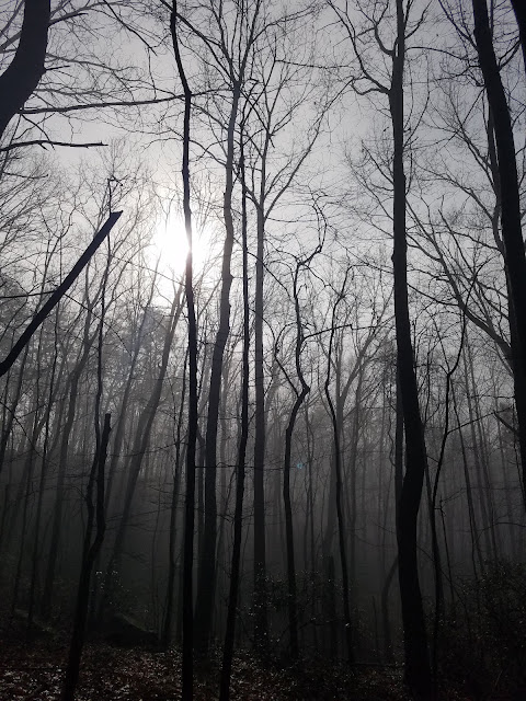
Rather than dissipating, the mist floated up from the valley and enveloped us as we hiked back through the boulder field. We survived the second test of skill and balance and emerged unscathed. It was actually easier going up than down.
Every day is a good day to be outside, especially in chilly wintertime and double especially with people you love. Because of our driving distance, we skipped Confusion Falls today, but in hindsight I wish we hadn’t. A reason to return!
“Every adventure is worthwhile.”
~Amelia Earheart


No comments:
Post a Comment