
Joshua Tree National Park – Day One – 3/19/13 – 8.5 Miles

A long drive from Ventura to 29 Palms, CA, a short night at
a funky motel, a heart-attack breakfast at Denny’s
(Jeff recommends the sausage/bacon/ham/cheese sandwich), and we were ready for
Joshua Tree National Park.
First, we stopped ever so briefly at the Visitor Center just
in case they actually know something we don’t.
Indeed, we learned that this is the most popular week of the year and we
might want to snag a first-come-first-served campsite ASAP. Also, the Joshua trees are experiencing an
“unprecedented” year of larger and more prolific blooms than in recent
memory. A connection to climate
change? Again, our good luck (and Jeff’s
good timing) brought us to the right place at the right time.
We found an available campsite at Ryan Campground, a flat
place in the flat desert. Instead of
trees, it is designated by huge rock piles that look like drip sandcastles the
kids used to make at the beach. They say
Joshua Tree NP is a rock climber’s paradise and I could see why. Even I, who have no desire for the sport,
wanted to climb on the rocks here.


Is David trying to move the rock?
How to begin our exploration of Joshua Tree National
Park? Keys View is a must-do, kind of
like that first look at the Grand Canyon.
At the parking area we hopped out of the car in shorts and tee shirts,
walked up to the view of the San Bernardino Mountains, took a quick photo and
ran back to the car for more clothes.
The wind was still blasting and quite cold!

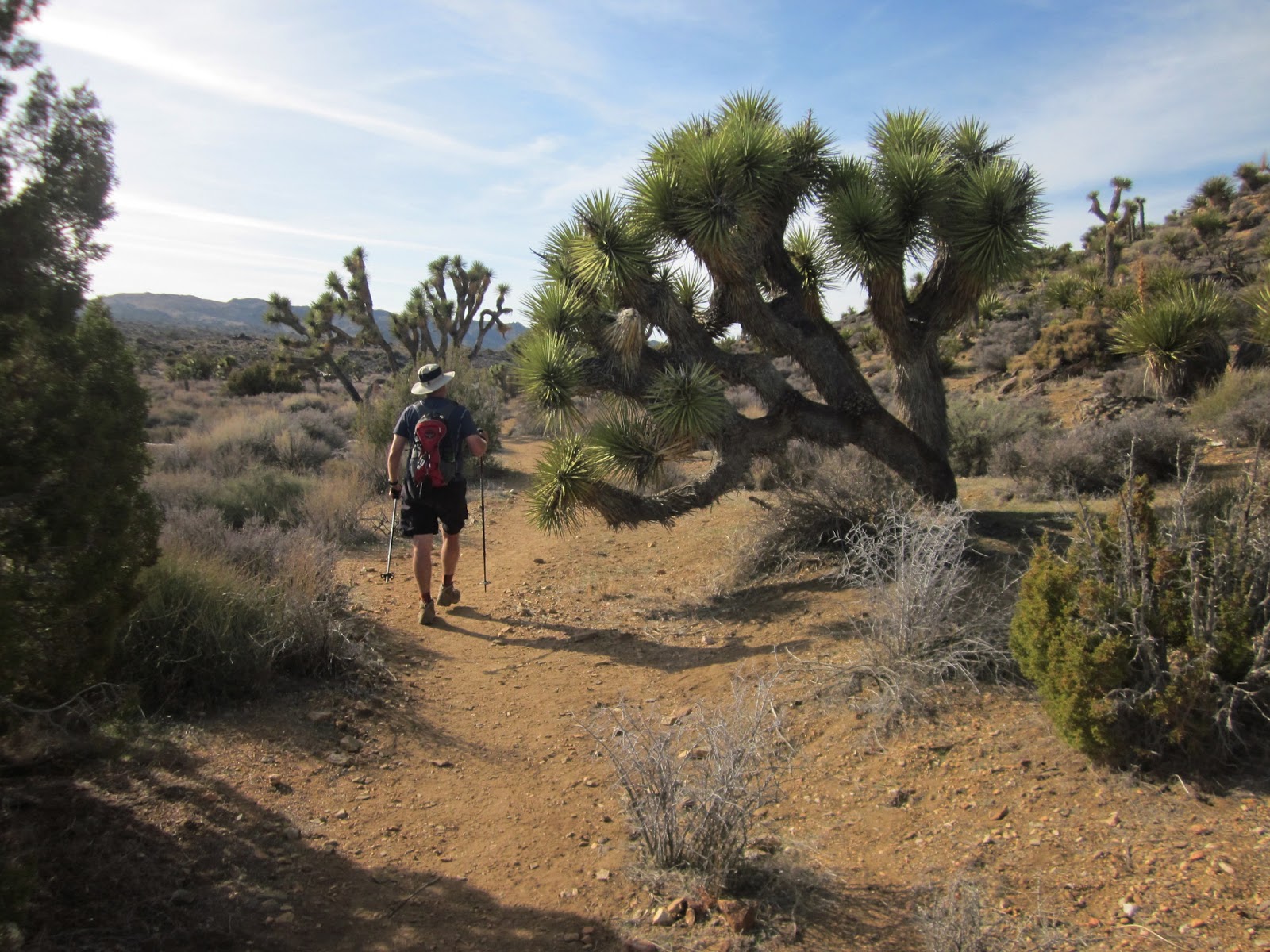
First look at Joshua Tree Land


Past the first false summit, we descended to
a saddle and then up a second peak
Well, I had it 30 yards ago to take the photo of David, so I
retraced my steps back over the boulders.
No camera. It could be anywhere,
fallen into innumerable cracks and crevices in the rocks. I crawled on all fours, peering into dark
spaces, praying no snakes would bite my nose.
I was not brave enough to reach into places that I could not see. I paced back and forth half a dozen times between
the two points, where I last knew I had the camera and where I discovered I no
longer had it. It was a goner.

Meanwhile, Jeff and David were distant specks on the next
peak. I waited for their return.
On their return, we all searched for the camera, going over
and over the same steps. I finally called it quits – at least I had my
phone so I could still take photos – when David said, “Is this it?” He pulled my camera out of a deep crack
beyond the point where I thought it would be.
When it came loose from my pack belt it must have made quite a bounce! My hero!
And the fun was just beginning. Next hike:
Lost Horse Mine Loop.
Joshua Tree NP has a rich history of colorful characters and
tough mining endeavors. The desert is
chock-full of abandoned mines and the Park Service cannot secure every one to protect
the public, so hikers are at their own risk.
Some mines are marked on the trail map, some are just holes in the
ground off-trail. Lost Horse Mine is the
largest mostly intact historic mining site in the Park. There are several buildings still
standing. The largest mine shaft, 500
feet deep, is covered but there are smaller, unsecured ones around the
hillside.
This mining site, first discovered by a German miner named
Frank Diebold, was one of the most profitable in the park. Diebold’s strike was bought out by a
prospector named Johnny Lang, who came across it in 1893 while searching for a
lost horse, thus the name. Don’t you
love simplicity?

But first, a detour for Jeff: near the beginning of our hike we parted ways
so he could bag this peak, lovingly known as Point 5196. (Every day Jeff had extra peaks on his
agenda. It is a sickness, I say.)
Knowing that Jeff would catch up to us soon, David and I
continued up the wide trail that wound up and around the mountains to Lost
Horse Mine.

Remaining foundation of one of the mine buildings

Wooden stamp mill

We found the short, steep trail above the stamp mill to the
summit of Lost Horse Point for a magnificent view of Malapai Hill (center
middle).
Jeff reunited with us at the stamp mill and we continued another
half mile on the loop trail, only to have him disappear again to summit another
unnamed peak. David and I kept moving
on and did not see Jeff again until the end of the trail – he got ahead of us
when we took a detour of our own.

David descending

So many rocks to climb!

Peaking down into an old mine shaft

My trail guide alluded to the need for backcountry
navigation skills but we found the trail to be quite clear, rolling up and
down, with sparse Joshua Trees and lots of low-growing desert vegetation. We passed right by an old homestead with a
chimney standing sentinel.

Chunks of rock and broken glass placed in the cracks of the
chimney stone
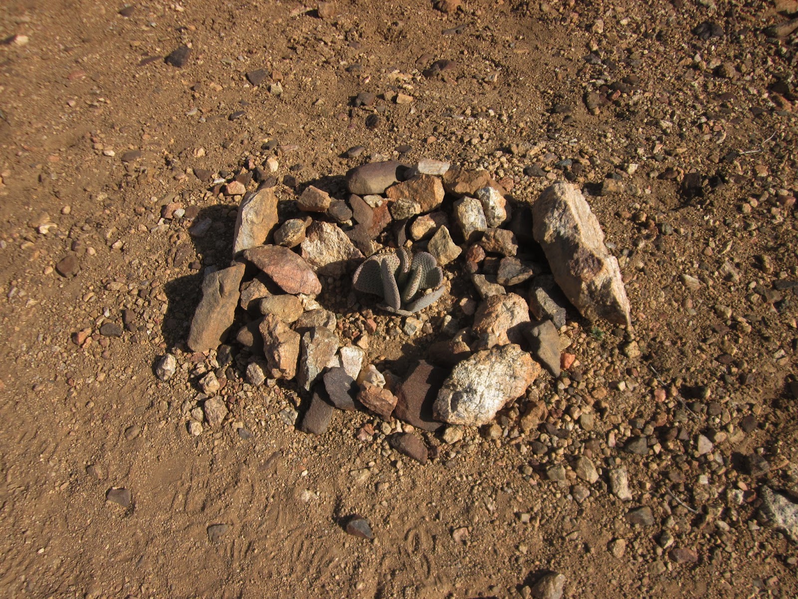
Someone protected a tiny cactus growing on the trail

Feeling confident of our desert skills, David and I found a
side trail described in the guide book that led to the remains of a house built
from Joshua tree logs. (Basically, we
followed a sandy wash filled with footprints.)
The destination was a bit disappointing and the detour took us about 45
minutes out of our way.
We reasoned that Jeff had passed us and we needed to hustle
back onto the main trail. The last three
miles were very flat walking in deep sand, but we had the opportunity to check
out the personalities of the Joshua trees.
Looks like this one is reaching out to grab David

Don’t ask

A Joshua tree had fallen over but was still blooming.

That means a good opportunity to photograph a bloom straight
on
Jeff was on the hillside near the car, looking for us. We decided to scratch the last hike on the
day’s itinerary and drove into 29 Palms for pizza – yum! On the way back to camp we stopped at the
Visitor Center to fill all our water containers (no water at any
campgrounds). It was nice to have a
reliable water source so close (20 miles), not like our visit to Death Valley
where water was harder to find.
We got back to camp after dark, no wind at all, cool but not
cold. We walked around the campground
loop without head lamps, enjoying the clear sky and identifying stars and
constellations. Jeff knows many of them
and David had an iPhone app to identify what we were seeing in real time. Even though we had hiked a lot, it was a
relaxing way to wind down.
The campground was filled up and a little bit noisy, but I
had my Tylenol PM and my ear plugs to drown it all out. At 9:30 it was lights out for me. Do I hear someone’s dog barking is that a
coyote?
No comments:
Post a Comment