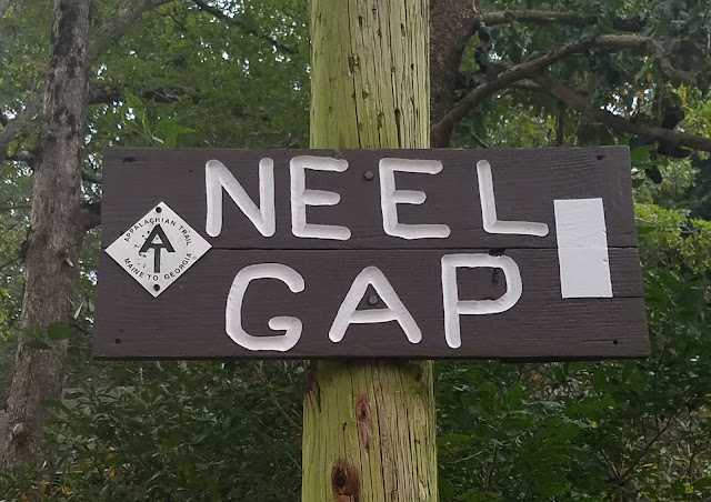
Appalachian Trail in GA – Three Forks to Gooch Gap – 10/23/20 – 12.9 Miles

When contemplating finishing the Georgia section of the AT, there’s nobody I’d rather have hiking the final miles up Springer Mountain with me than Jim. I knew there would be payback sometime in the future (cross-country bike ride?) but that give-and-take is what marriage is all about, eh?
So Jim and I drove from Charlotte to Suches, GA on a Friday afternoon. The plan was to base camp at Gooch Gap (where Cathy and I left off a month earlier) and use shuttles to set up dayhikes on Saturday and Sunday. When we arrived at the gap, where the AT crosses FS 42, there were tents scattered all about, so we pitched ours on the “quiet side.” A woman named Maria was taking a zero day and waiting on her partner, John, who was hiking southbound from Neel Gap. Maria built a very nice fire and we hung out chatting with her until John came into camp. He said hello, put one log on the fire, and crashed.

Jim and I were cozy in our tent by 8:00 pm and enjoyed a peaceful night, not too cold or too hot, just right. Rained from 4:30am until about 6:00 am.
Got up before 7:00 am to prepare for an early shuttle, still dark. I stepped into the woods to pee and saw three spooky figures standing in the hazy daylight on the road by our tent, tall black creepy figures. Trees? Bears? Ghosts?

Our shuttle driver, Mary, picked us up at Gooch Gap right on time and drove us on Forest Road 42 to the day’s starting point at Three Forks. From there we would walk 13 miles northbound back to our campsite.
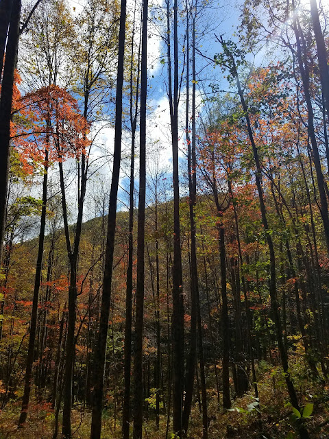
The trail was shrouded in fog for the first hour or two, but up close the fall foliage was popping. It was one of those color-saturated days that you’re glad cameras are digital and not old-fashioned film that would be used up too quickly. I was continually torn between walking and trying to capture the suggestion of fog through the trees, glistening water drops on leaves, clumps of color floating in mid-air.


 In the first two miles we passed a side trail to the Hickory Flats Cemetery and
 a marker for Hickory Flats School

 Anybody home?


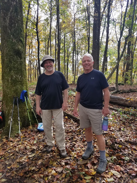
a little weekend section hiking.


Jim developed a sore ankle that continued to worsen throughout the day, especially descending Sassafrass Mountain and Justus Mountain. We mulled over our options for the next day’s hike plan, another 13 miles from Three Forks up to Springer Mountain and down the Approach Trail to Amicalola Falls State Park.


Have you ever noticed the universality of water? Waterfalls, ocean waves, lakeshores, tiny leaves floating down a tiny creek…we humans are captivated by the flow that happens whether we are there or not. The presence of water is always noteworthy along a trail, helping to measure distance and offer respite. Today an unspoken but mandatory break time was declared at Justus Creek, as every two-legged hiker (and one German Shepherd) paused to enjoy the water, whether filling up water bottles, soaking tired feet or laying down in the creek.


Past the creek, we continued on the greatest hits tour of fall colors for another two miles to our campsite. Along the way we crossed paths with Maria and John, wishing them good luck on their journey south.


All was quiet back in Gooch Gap, a few vehicles but no peeps. Jim and I drove out to the Wolf Gap convenience store and bought sodas, chips, beer and cider (yes, they had Austin Eastciders!) [The cashier insisted that alcholic beverages must be placed in plastic bags before leaving the store…hmmmm.]
We also checked in with Mary-the-shuttle-driver and revised tomorrow’s plan: we’ll skip the Approach Trail section, hike from Three Forks south to the Springer summit, then backtrack to the parking area at Big Stamp Gap. This will save Jim’s ankle, cut short the shuttle, and get us home earlier. Love the flexibility of base camping and shuttles!

At camp we pulled out our tailgate chairs, popped tabs and settled in to watch hikers pass through. Two section hikers, Kevin and Chase, came along and hung their hammocks nearby, and we offered them cold beer – trail magic! They built a low-key fire and we all prepared dinner, talked awhile, and then we left them to enjoy their evening.
Tomorrow is the big day – Springer Mountain!

“Fall, the time when everything bursts
with its last beauty, as if nature had been saving up all year for the grand finale.”
~Lauren DeStefano