
Appalachian Trail in GA – Neel Gap to Gooch Gap – 9/18/20 – 14.5 Miles

I’ve heard many stories of NOBO thru-hikers slogging the long haul up Blood Mountain, high point of the Georgia section of the Appalachian Trail, in late winter or early spring’s rain and/or snow. With all due respect, I was pretty happy to be dayhiking SOBO with a light pack and fresh legs on a sunny day. Same miles but a different perspective.
Cathy and I left our campsite at Lake Winfield Scott Campground before sunrise to meet our shuttle driver at Gooch Gap, where the AT crosses US Forest Road 42. Today’s hike would be over 14 miles followed by a long drive home.
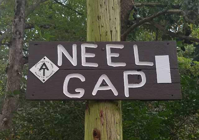
We picked up where we left off yesterday at Neel Gap, still heading southbound, and moved quickly over the first mile to Flatrock Gap where the Freeman Trail crosses the AT. The Freeman Trail can be used to bypass the summit of Blood Mountain in bad weather. You can combine it with the AT to make a nice loop hike. Flatrock Gap is also where the serious southbound climbing begins. For you data people, the trail gains 1,000 feet in 1.3 miles to the summit.


Thousands of northbound thru-hikers start at Springer Mountain in GA each year and the majority of them make it to Neel Gap. (About 25% of them get all the way to Mount Katahdin in Maine.) That first 31 miles gets pounded into rocky, rooty, eroded trail that maintainers try heroically to keep in good condition.


Pinesap

Blood Mountain Shelter was built by the Civilian Conservation Corps (CCC) in the mid-1930’s. It’s made of local stone, two rooms and a fireplace, and sleeps eight comfortably or more if necessary – a welcome shelter on a cold and windy night, but you’ve got to haul your own water from either Neels Gap (SOBO) or the spring at Slaughter Creek (NOBO).


 Be sure to climb around on the big rocks beside the shelter
If you’re planning to spend a night along the AT between Jarrad Gap and Neel Gap – basically all of Blood Mountain – you are required to pack your food in a bear canister. (Please do this so that the bears don’t get habituated to human food.)

Believe it or not, the next 9 miles flew by. Cathy and I weren’t stopping much, just breathing it in and enjoying our pace. Dayhikers were out in droves, getting their outdoors on during the pandemic.


 On Big Cedar Mountain
Our green euphoria was punctured at Woody Gap where Highway 60 crosses the mountains: motorcycles, radios blaring, trash piled up beside the full trash cans. What is it about people that don’t realize they can take their trash with them? We scampered across the road and back into the woods.


Summit of Ramrock Mountain

Gooch Gap is a prime stop on the AT, about 25 miles from the beginning of the Approach Trail at Amicalola Falls State Park, two days into a thru-hike when the reality sets in. There’s easy accessibility, water, and plenty of tent sites to spread out. I had a moment of confusion before realizing that we had to walk past a lot of tents to reach FS 42 where the trail actually crosses, and made a mental note to base camp here when I return next month to finish my Georgia miles.
Camping, shuttling, and dayhiking is the best scenario for me hiking the AT. I’ll carry a loaded backpack if I have to, but it’s worth the price of a shuttle to carry a light pack and car camp to keep the costs down. And Big Macs are a just reward!


“Hike your own hike!”
~Everybody On the Appalachian Trail
No comments:
Post a Comment