
Smokies 900 Round 2: Old Settlers Trail Section
Lindsey Cemetery to Tyson McCarter Barn
3/21/21 – 11 miles

After the Cat Stairs hike yesterday, I could have easily been talked into going to Gatlinburg for a big breakfast this morning. Jeff keeps me accountable, though, and breakfast can be eaten at any ol’ time or place…but we were in the Smokies and that means hiking.
On a flat map, Old Settlers Trail looks like a gently undulating walk in the woods, but its length (15.8 miles plus 1.2 miles on Maddron Bald Trail to access it) makes it a serious dayhike or a backpacking trip. During my first Smokies 900 project in 2008-2009, Judy and I successfully tackled the OST in a dayhike and I recalled commenting that, even though the trail didn’t go up to any big elevation points or ridges, it wasn’t as easy as you might think. Looking at the elevation profile after the fact, we could see that of course it isn’t flat. It’s a roller coaster.
My story of that 2008 hike was pretty good! Lots of history and details of the area. Read it here.
A couple of years ago, Jeff and a friend started out on an overnight hike on the OST but had to bail early due to an injury. That’s how he discovered an access trail out to Highway 321 that passes the Lindsey Cemetery.
Today we wouldn’t have time to hike the whole thing, but we could again take advantage of shuttling with two cars. Since I had only hiked end-to-end, I was curious to explore different access points.
We made a plan to start at the Lindsey Cemetery access and go as far as the access point for the Tyson McCarter Barn. This scenario was about 11 miles, so we could both drive home at a decent time. As for the loose ends, we could come back to them at a later date.
The description of Old Settlers Trail in Hiking Trails of the Smokies (“the brown book”) is very good as far as it goes, but it doesn’t include every side trail, access point, cemetery and old homesite, so be sure to look for other resources before hiking this trail or you will miss a whole lot of human history.
At Highway 321 there was a chain across the Lindsey Cemetery access with no space for parking safely. About 100 yards away, Jeff quickly pulled his truck over and backed up behind a guard rail, and we walked on the (nearly nonexistent) shoulder of the road down to the access. From there, it’s about half a mile on the unpaved roadway to the cemetery.


From the cemetery, we continued on the unmaintained trail nearly .3 miles to Snakefeeder Branch, a tricky rock hop across the lively creek and confirmation that we would have many unbridged water crossings between us and the end of our hike. On the other side we stepped onto Old Settlers Trail. Which way now? Well, a right turn (westbound) goes about 4.5 miles to Greenbrier. We turned left (eastbound) heading towards Maddron Bald Trail.

We were now in the Soak Ash community. In just a few minutes we reached a handwritten sign for the Green Cemetery (also called S.S. Dock Green Cemetery). We followed a narrow path about a hundred yards to the right where several unmarked graves stand, including carved headstones for Minerva Green and Lillie Green. I can’t say what their relation was. Lillie’s epitaph says, “Love Lives On.”

Half a mile further, we reached a fork in the trail and a signpost indicating direction to stay on the OST. Out of curiosity, we took the manway (unmaintained trail) as it looked like it might lead to Highway 321 – another access point? After a few minutes, our short attention span turned us around and we retraced to resume our hike. [At several points there are signs to direct hikers to stay on the OST and not mistakenly wander down old trails and forest roads.]

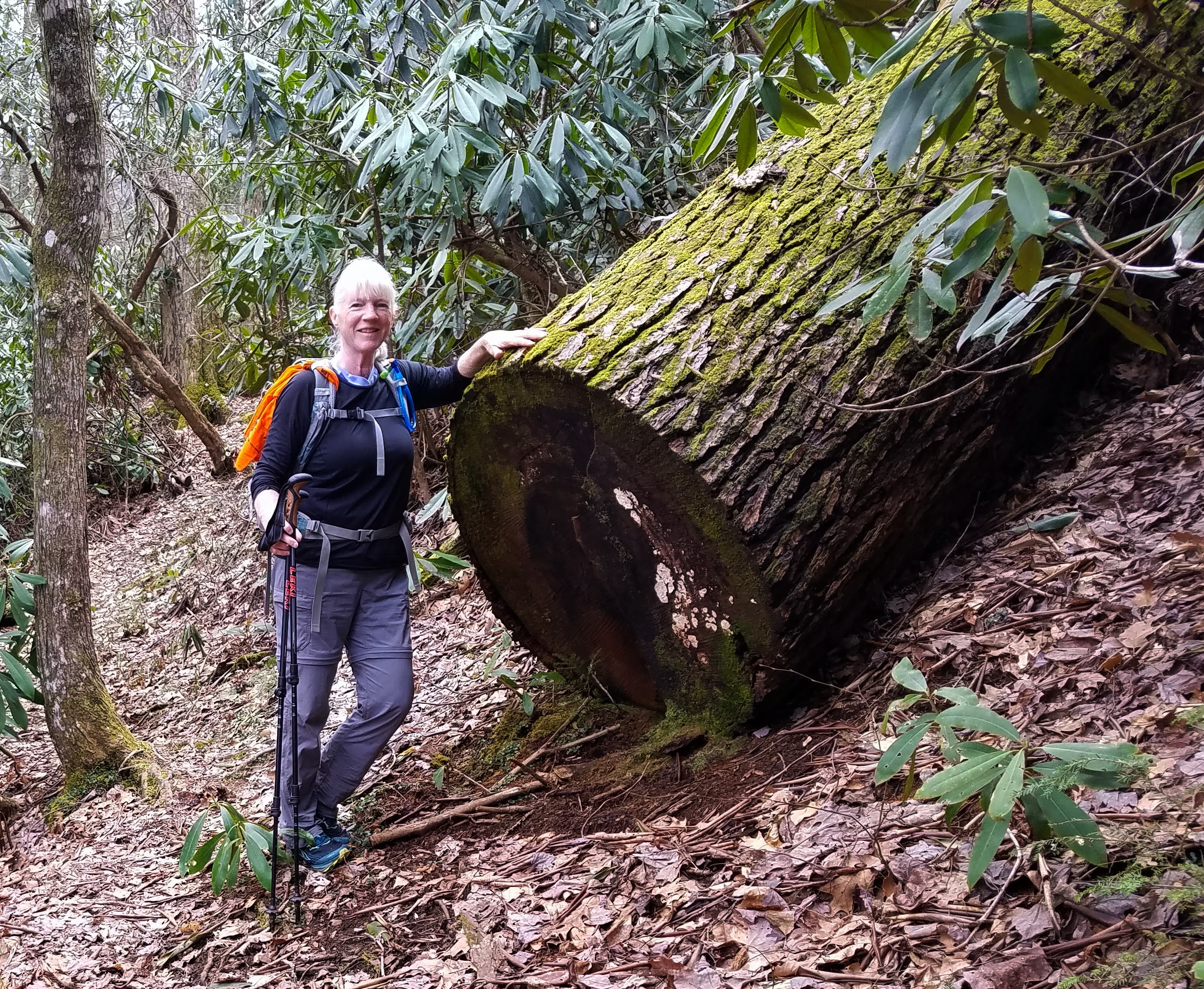
Some of the creeks we crossed and/or followed today: Evans Creek, Timothy Creek, Darky Branch, Ramsey Creek, Noisy Creek, Tumbling Branch, Redwine Creek, Texas Creek and Webb Creek. We crossed some of them many times and I didn’t try to keep count. I walked across one on a log, something I usually do not try because I’m afraid of slipping, while Jeff would look up and down the creekbanks to find a log to walk on. I rock hopped and splashed in a few times but didn’t mind getting wet feet today.


In pre-Park days, this was not considered a remote place. Communities, farms and homesites were linked by tracks and paths as hundreds of people called these mountains home. The brown book says, “Traveling the Old Settlers Trail, a hiker can see more signs of 19th and early 20th century mountain community life than any other place in the park.” There are no signs to determine what is what, and most of the time we didn’t know exactly where we were along the trail as referenced in the book. We just walked along and marveled at what remained as we imagined people, livestock, gardens, and home fires burning.


Spiked yucca plants at a homesite

Campsite 33 is the only campsite along Old Settlers Trail, at an old homesite. Its water source is Redwine Creek. [I’ve heard there’s an unmaintained trail from Highway 321 called the Redwine Manway that is just under a mile long, comes out very close to Campsite 33.]


The significant climb of the day was two miles following Noisy Creek up to Chestnut Ridge – whew! The reward was our best view of the Cat Stairs and Greenbrier Pinnacle.

Jeff explored one homesite while I took a time-out, sitting down to rest and eat. Yesterday’s effort caught up with me, 13 miles and 3800 feet ascent, most of it bushwhacking – no wonder I was tired!
Early spring wildflowers were emerging, as well as masses of non-native daffodils, indicating a woman’s touch to beautify her home.


 Nearing homesites of the Texas Creek community, piles of rocks where long-ago farmers


 A magnificent rock wall, nearly 5 feet tall and more than 100 yards long


and his five daughters (he had no sons).


There is ample space for many cars to park near the McCarter Place, and a wide gravel road leading half a mile to a gated entrance at Highway 321 where I had placed my car. I wonder if/when this access is opened – cemetery Decoration Days? special events?
I’m not done with Old Settlers Trail yet. Both of my hikes so far have been in colder months when undergrowth is gone and it’s easiest to see homesites, gravesites, and artifacts…but the tease of early spring flowers makes me wonder what April reveals, or the changing colors of autumn…

“Home is the nicest word there is.”
Laura Ingalls Wilder
No comments:
Post a Comment