
And the rain came down all through the night. With plenty left over for our hike today.
Considering the weather conditions and the amount of daylight hours, we decided to set up a long shuttle for the 8.5-mile section of the Mountains-to-Sea Trail from Wolf Pit Road to Table Rock rather than an out-and-back hike (more accurately, down-and-up). My car was already waiting at the picnic area, but the drive from our little cabin to Wolf Pit Road took about an hour with a couple of miscues (but I know how to take you there now for sure).

Sassafrass - my favorite tree
 From the end of Wolf Pit Road a couple of unnamed trails head into the Linville Gorge wilderness. Intuition said “go right” and we followed a faint blue blaze on a heart-pumping uphill approach trail to the MST. Fire on this side of Linville Gorge in summer 2007 left blackened tree trunks.
 The fire also created ideal conditions for wildflowers to emerge. The show was spectacular, some consolation for the fact that we would not see down into the Gorge today. Flowers of the day: goldenrod, milkweed, white snakeroot.
A magical path
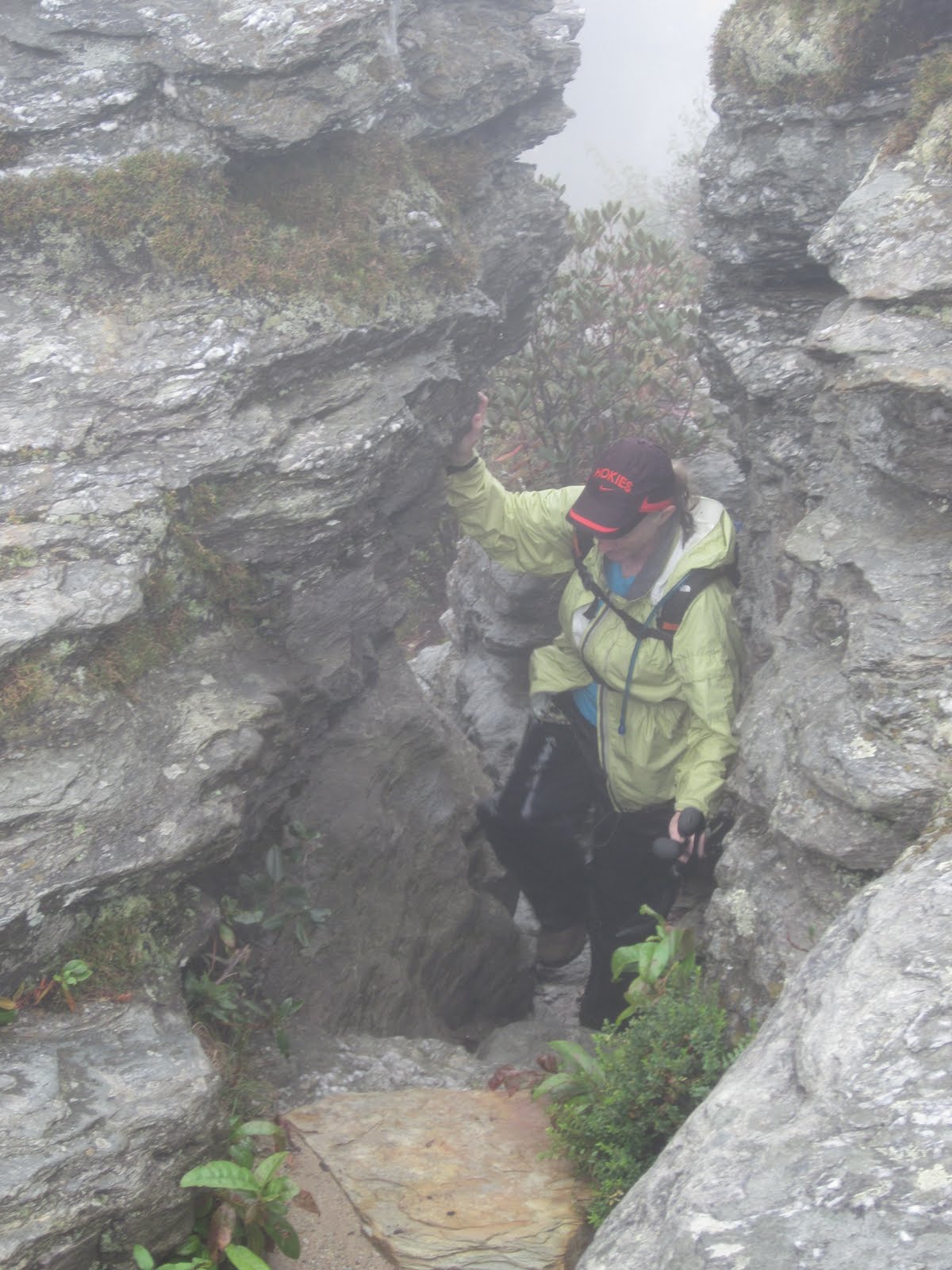
 We endured more rain on the trail than yesterday and dripping vegetation ensured that we kept our rain gear on. We were drenched, dripping, soaked, soggy, sopping, saturated and waterlogged. BUT… don’t ever think that walking in the rain is just bad. Once you accept your oneness with the water, then clouds
 , flowers, rocks and trees take on a unique quality, glistening and shimmering and sparkling.
After we joined up with the MST, the trail surprisingly leveled out as we walked along Shortoff Mountain. We touched on a couple of overlooks but the view was a whiteout. Many established campsites attest to the area’s popularity despite the lack of water sources. It would be worth hauling all your water for an overnight though, but don’t spill any!
 This rock is the size of a refrigerator - can anyone tell me what type it is?
 A break in the clouds

Kate and I (photo by Danny)
Linville Gorge is a fascinating wilderness. On a map it looks straight- forward, a pretty straight river with high sides, right? There are some trails marked on the NatGeo #779 map, but there are lots more social trails and animal trails, all unmarked and unblazed. (Do some serious research before you go.) The exception is an occasional blue marker and then the MST white blazes. Those little circles took us through the wilderness…until…we became complacent and unknowingly took a wrong turn. Danny became suspicious that we were going too steeply downhill and we noticed that trail maintenance had drastically deteriorated...and when was the last time we saw a white circle? We compared distances on Danny’s GPS, elevations, compass readings, our watches, the NatGeo map and Scot’s notes. Do we go on or do we turn back? We were not yet sure if we were wrong.
We agreed to descend a little farther in search of Chimney Gap because we knew its elevation from the NatGeo map (Scot’s notes did not mention anything about a gap). By now there was nothing but a white abyss in front of us and on both sides and it appeared to me that we were walking down a finger ridge into the Gorge, perpendicular to where we should be walking. Eventually Danny’s altimeter said we were well below the expected elevation – time to turn around. After half a mile of steep uphill backtracking, we found our error. The MST veered right on a small trail and we had taken a very wide and obvious (but unmarked) left trail. From that point we descended correctly to Chimney Gap, with me shouting out “white blaze” each time one of those precious circles appeared. (Insert discussion here on whether wilderness areas should be blazed – I vote yes.)
 We lost only an hour of time but I gained a little bit of frustration. I had to keep reminding myself that we were not lost, just not where we wanted to be. We could have backtracked all the way to the car if necessary. We had enough daylight that we were not in danger of being caught out overnight. But Linville Gorge was proving to be our biggest challenge on our MST adventure and a good place to learn some lessons.
Continuing on, the trail started back up, up, up. We passed through the Chimneys area and could faintly see the stacked rocks overhead, but visibility continued to decline. I will have to hike this section again before I can say that I have truly seen Linville Gorge.
This would be more fun if I could see
The last mile was, as always, the longest. We were shivering as we drove the short distance from the Table Rock picnic area back to the cabin. Kate left for her home in Raleigh while Danny and I drove the arduous but well-worth-it shuttle to retrieve her car. Then back at our cabin we reveled in the use of a dryer as Danny made supper of pasta and homemade sauce. Tomorrow’s plans? Well, we’ve got a couple of options…
I am sure it is a great mistake always to know enough to go in when it rains. One may keep snug and dry by such knowledge, but one misses a world of loveliness. ~Adeline Knapp
No comments:
Post a Comment