Appalachian Trail in NC – Standing Indian - Beech Gap Trail/Beech Gap to Deep Gap – 9/16/17 –
8.1 miles
After yesterday’s blowdown bummer hike I was unwilling to
risk long mileage, so completing the entire Standing Indian U-section wasn’t
going to happen. Mike and I looked at smaller bites and decided to hike up Beech
Gap Trail to the AT, then hike southbound on the AT to Deep Gap where we’d left
my car yesterday morning. This route totaled about 8 miles, rather than the 16
miles I had originally planned, and we had all day to negotiate whatever
conditions. (Mike hiked with me today.) The fine print: I’ll have to face Beech Gap Trail again
someday, either up or down, to connect the dots.
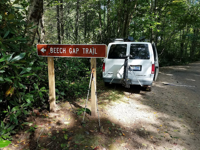
We followed graveled Upper Nantahala Road past the turnoff
to Standing Indian Campground, through Kimsey Creek group camping, on up to the
right-hand, two-car pulloff for Beech Gap Trail – can’t miss the sign. We could hear the crashing headwaters of
Nantahala River and were relieved to see a nice bridge to start us off.
Beech Gap Trail rose steadily but reasonably, and there was
little damage other than a lot of green leaves blanketing the ground. Blue blazes were sparse and the upper half of
the trail was on old road bed with blowdowns that likely preceded Tropical
Storm Irma’s tantrums.
Trail edges showed a significantly eroded duff layer as
a result of a lot of water gushing in a short period of time
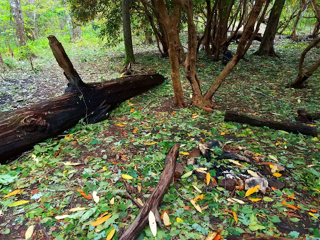
Mike passing by charred remains from forest fires in
the fall of 2016. During that season there
were 13 significant fires in the areas around Standing Indian. Trails were closed, including the AT. The
wooden structure of the Wayah Bald lookout tower was destroyed (the stone base
remains).
Fall had arrived – since yesterday!
We sat down at Beech Gap because we could. There’s a really nice camping area there,
large enough for many tents to spread out.
(AWOL’s guidebook says there is water but we didn’t look for it.)
From Beech Gap, our only obstacle today was a steady
three-mile climb up Standing Indian Mountain. Surprisingly, this section of the
AT didn’t have nearly as much storm damage as the section south of Deep Gap, so
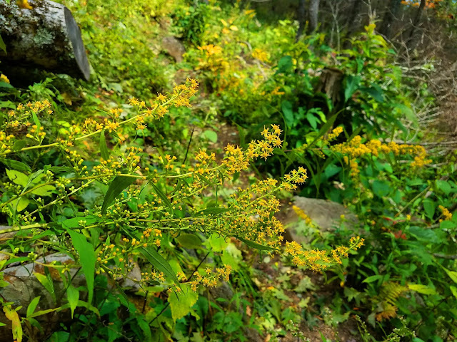
our pace was moderate and we had time to look beyond our next footstep. We enjoyed a warm but lovely early fall flower
hike day. Who’d a thunk?
I experience a whorled wood aster obsession every
fall!
Another obsession: tree burls
Glorious view of rows upon rows of mountains at the summit of
Standing Indian Mountain, with Chatuge Lake shimmering within the layers
More fire damage
Back in the tunnel, our 2.5-mile descent from the summit to
Deep Gap blew by in a flash in a couple of long switchbacks. The closer we approached the gap, though, the
more trail debris and blowdowns we encountered.
Looking at a topo map of the Southern Nantahala Wilderness that this
part of the AT passes through, it’s clear that the storm winds blew from
southeast to northwest and hit yesterday’s section straight on, while today’s
section was sheltered. A map, a cup of
coffee and hindsight are great, but we did the best we could with what we knew
at the time.
Hanging from a tree near Standing Indian Shelter. How do I feel about this? While it is cute and whimsical, it certainly
violates leave-no-trace principles and it disrupts the unencumbered feeling of
being in nature for nature’s sake.
End of the trail for us today
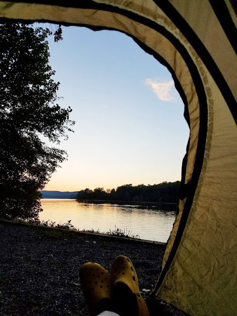
We retrieved my car, then Mike’s van back at the Beech Gap
trailhead, and camped overnight at Standing Indian Campground – for the
convenience, not for the ambience. It’s a busy campground that serves a purpose,
but we both prefer more primitive and therefore less populated places. Folks in
the site beside us felt the need to crank up their radio for the evening. Lord
knows we don’t want to hear crickets and owls! Deep in the nighttime, though, I
did hear some hooty-hoots.
“A few minutes ago every tree was excited, bowing to the
roaring storm, waving, swirling, tossing their branches in glorious enthusiasm
like worship. But though to the outer ear these trees are now silent, their
songs never cease.” ~John Muir


