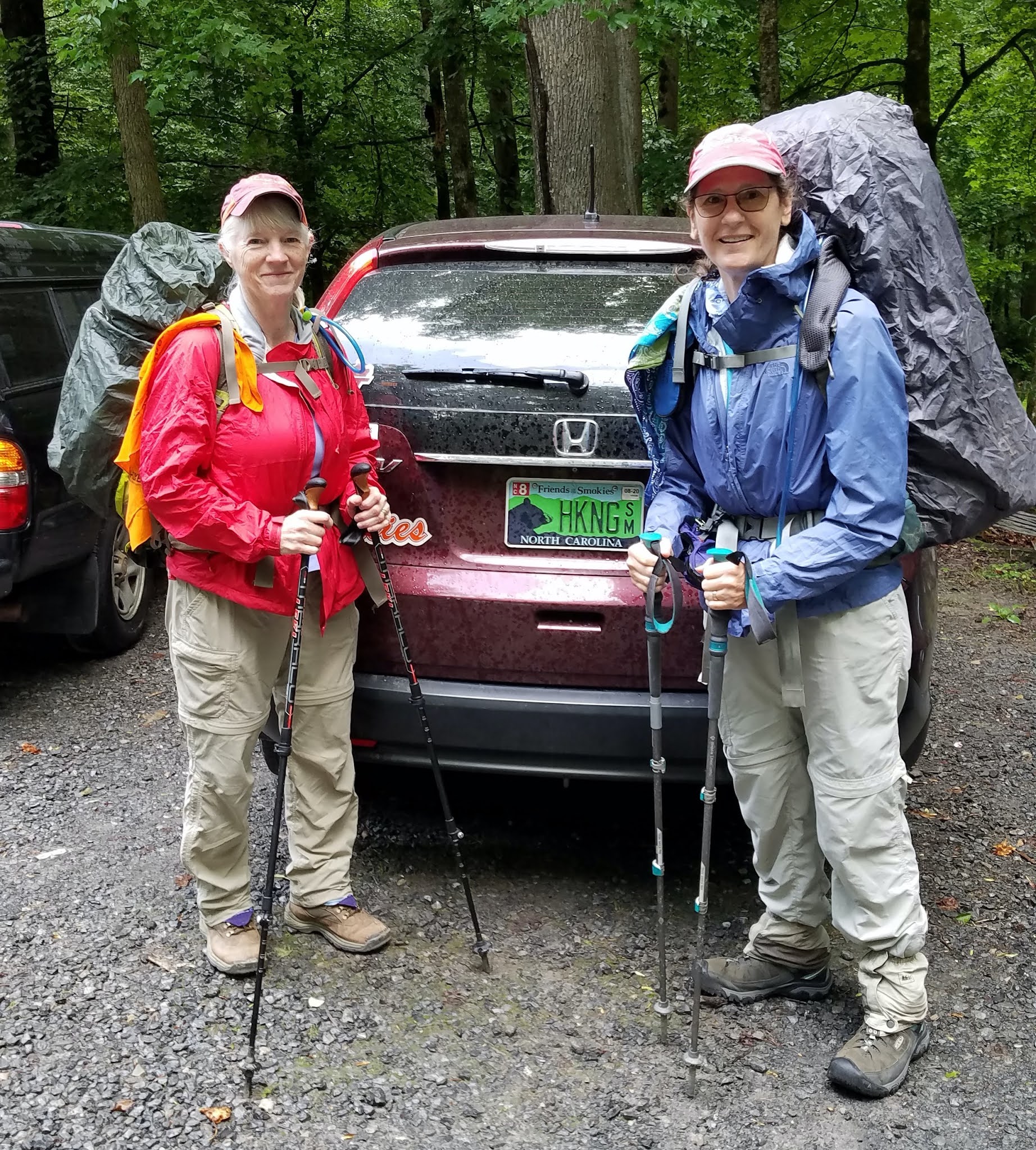
Big Creek Base Camp With Carol
Big Creek/Gunter Fork/Balsam Mtn/Mount Sterling Ridge/Swallow Fork Loop
14.1 Miles – 6/26/20

Morning inside my tent
The day began the same way yesterday ended: birds singing with the sunrise.
Expecting big miles up and down today, we powered up with yummy apple danish that Carol heroically hauled in for breakfast. By 7:40 a.m. we started our 14-mile loop hike [18 miles for Carol!]
We tackled the loop counterclockwise, starting up Gunter Fork Trail to get the water crossings behind us first thing. If we encountered one that looked too dangerous, we’d have a short walk back to camp. On my Smokies 900 hike of Gunter Fork, I was not that smart, but we were lucky that day and had all rock hops.
Here we go!
Gunter Fork Trail handed us six wet crossings today. The first one was Big Creek itself, deep enough to wet the hem of my shorts. We kept our Crocs on until we crossed the next five.
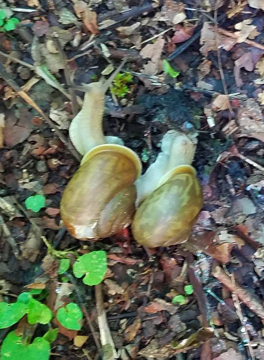
The sixth crossing was at the base of Gunter Fork Cascade, less notable for the water that flows almost imperceptibly than for the sandstone rock face itself. It’s tempting to lean over to feel the smooth surface, but it’s more important to pay attention to the slick wet rocks underfoot on the narrow trail.
Beyond the cascade, the trail’s Mr. Hyde character emerged as a rough, overgrown, narrow and washed-out track – no good adjectives! Oh, I forgot to mention STEEP. The last two miles to the junction with Balsam Mountain Trail is about a 1,500-foot gain via switchbacks, not impossible, but relentless. I told Carol to go ahead of me, as she intended to hike two extra miles on Balsam Mountain towards the AT (and two miles back) to close a gap in her 900-miler map. [Note: if you’re pursuing the Smokies 900 challenge, be sure to work remote trails like Balsam Mountain into your routes and don’t leave loose ends.]
Going up Gunter Fork Trail

Purple flowering raspberry
Slippery slope and eroded trail grade
As we climbed higher, the hardwoods gave way to mossy alpine forest
Like yesterday, I struggled up Gunter Fork, carrying more water and feeling the weight dragging me. How can I hike the JMT? But…I arrived at the junction just seven minutes after Carol, which lifted my spirits. So much of any physical challenge is in your head.
Carol would say the challenge is also in the legs. While she hoofed it along four extra miles, I kicked back for a two-hour break, eating and dozing. Fraser firs dominated and thick green moss carpeted everything at my little rest stop. I put on my long-sleeved shirt and rain jacket against the cool, damp air of 5,500 feet elevation.
When Carol returned she was tired – of course! She ate a quick lunch and we probably should have allowed her more rest time, but we felt the miles still ahead on our loop. We turned left onto Balsam Mountain Trail for one mile to the intersection with Mount Sterling Ridge Trail.


Mount Sterling Ridge Trail is one of my favorites in the Smokies. The first three miles from Laurel Gap are flat, winding along the slopes of Big Cataloochee Mountain and Big Butt Mountain and then settling on the ridgeline of Mount Sterling. The spruce-fir forest smells like Christmas all year round and a breeze gently stirs.
Wild boar love this trail, too. Evidence of uprooting spread as far as our eyes could see in every direction, the most I have ever seen, for more than half a mile. [Note: Carol notified the ranger station after our trip. There had been no recent hog activity reports in the area. If you see something amiss in the Park, let the rangers know. Don’t assume someone else will call it in.]
We took a short break at Pretty Hollow Gap – short because the gnats were having a convention and would not let us sit in peace.

We left the gap behind, descending Swallow Fork Trail to Big Creek, the same length and grade as Gunter Fork (four miles and 2,200 feet), only now our knees and feet were put to the test rather than our quads and lungs. (Well, our quads were still working hard.) I’ve hiked Swallow Fork Trail several times, but this was my first time going downhill. My tender toes remembered the abuse from yesterday descending Low Gap.
On the way down, Carol and I discussed our planned hike out for tomorrow (up to the AT, northbound with a side trip to Mount Cammerer lookout tower, and down Chestnut Branch Trail) and abandoned it in favor of the five-mile gentle downward glide on Big Creek Trail back to the parking lot. I felt better already!
Just two rock hop creek crossings, but at McGinty Falls I slipped and landed tailbone-first on a sharp rock. Surprisingly, it didn’t bother me the rest of the trip, but when I got back home there was a stunning bruise that lasted for weeks.


Back at camp by 5:35 p.m., a triumph for Carol’s 18-mile day and my second place 14 miles! Before we sat down and our muscles stiffened, we went about camp chores of filtering water and preparing a hot meal.
Just as we began to eat, an unexpected rain came hard enough that we scrambled to put things away and get into our tents. The shower was over in 30 minutes, but by then exhaustion had overtaken me and I was in for the night.
Bridge over Big Creek at Campsite 37
“See I've conquered hills but I still have mountains to climb....Right now, right now,
I'm doing the best I can."
~Tracy Chapman