Showing posts with label South Beyond 6000 Challenge. Show all posts

Sunday, November 24, 2024

Pisgah 400: Art Loeb Trail & Cold Mountain

Pisgah 400: Art Loeb Trail & Cold Mountain – 7/12/23 – 11.4 miles
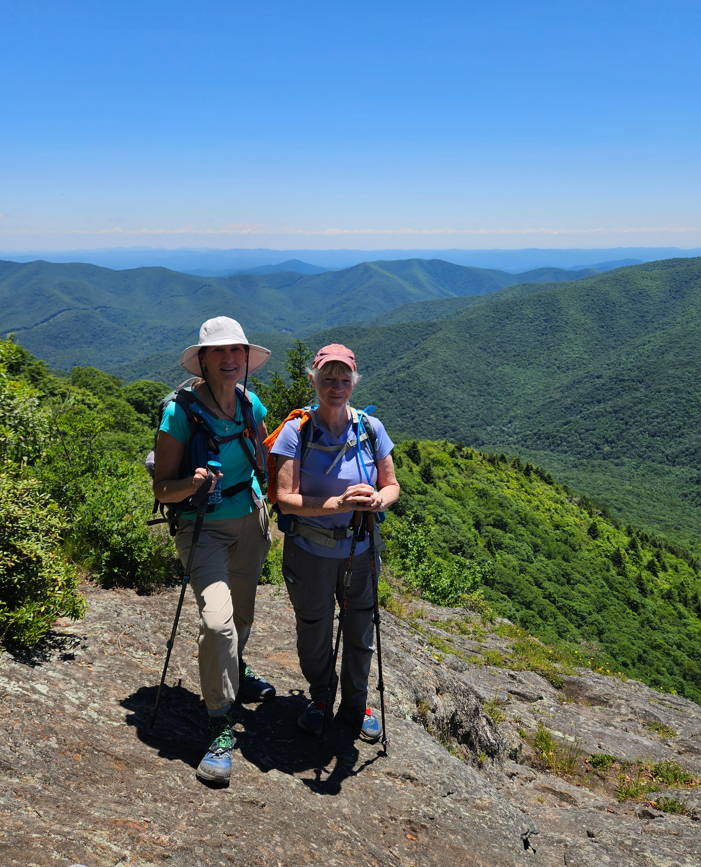
After a comfy/chilly night’s rest (54 degrees) at Mount Pisgah Campground, Carol and I woke up to another blue sky day, looking forward to hiking to a famous summit: Cold Mountain.

Heard of it?

Yes, it’s the Cold Mountain that inspired the 1997 book by Charles Frazier (am I dating myself here?)

Yes, it’s the Cold Mountain that every Boy Scout at Camp Daniel Boone has tackled on an 11-mile round trip hike to the summit.

Yes, it’s the Cold Mountain (elevation 6,030 feet) that is part of the South Beyond 6000 Summit Challenge (SB6K).  

Raising the awesomeness factor of today’s hike is the Art Loeb Trail, a challenging route traversing ridgelines of Shining Rock Wilderness and high points of Pisgah National Forest. Camp Daniel Boone is at the northern terminus of the Art Loeb Trail. The southern terminus is 30.1 miles away at Davidson River Campground in Pisgah National Forest.

I’ve hiked all of the Art Loeb Trail except the westernmost four miles starting from the camp. I summitted Cold Mountain in 2009 as part of the SB6K Challenge (that’s 14 years ago, friends). Our trek on that day was a rigorous 18 miles out-and-back from…well, you can read all about it here.

Today’s adventure is all new for Carol, so let’s go!

It’s one heck of a drive from Mount Pisgah Campground to Camp Daniel Boone, and I was taken aback when it appeared we would drive through the middle of the camp while the morning flag ceremony was being conducted. Boy Scouts young and old swarming everywhere – are we in the right place? Yep, just keep going to the gravel parking lot for Art Loeb Trail.

A young woman with a loaded backpack was studying the trailhead sign and she headed up the trail a few minutes ahead of us. We soon caught up with her and she was eager to chat. She was excited to begin a birthday challenge for herself, her first multi-day hike.

Carol and I surreptitiously raised eyebrows. We are both experienced backpacking know-it-alls and Shining Rock Wilderness is quite rugged, a myriad of unmarked animal and social trails with no signage. We suppressed the urge to grill her about gear, instead encouraging her that it was very doable. She said she had paper maps and some info from the AllTrails app, figured she would take 5 days or so. We took a group photo, and Carol and I wished her well and walked on, a little worried – yes, judging her (lack of?) preparedness.

Our superiority complexes were quickly squelched as the steepness of the trail in front of us took our breath away. Let’s slow down and appreciate nature. Lush foliage and midsummer flowers were putting on a show!


I do not know what this is...

Dutchman’s Pipe vines and heart-shaped foliage

Turk’s Cap Lily

Carol crossing one of several little streams

Fire Pinks


Sundrops

At about 4 miles, we reached Deep Gap, where the Art Loeb Trail turns right and Cold Mountain Trail turns left. We took a break to assess our energy levels.

Are we having fun yet? Carol debated whether she wanted to continue to the summit.  Up to this point, the Art Loeb had been challenging but not hard to follow, clear of obstacles. Looking at the head-high foliage pointing towards Cold Mountain, though, I also had doubts. This is where the “let’s start, see what it’s like, maybe turn around” philosophy applies. (Spoiler alert at the top of this post: we both made it to the summit.)

Can you see me?

The steep grade didn’t let up. The closer we got to the top, the more rugged the trail became. The tall undergrowth persisted, broken up occasionally by boulders. No surprise I only took three photos on this section.

A piped spring

Columbine

I see an opening…

The top of Cold Mountain is broad, mostly tree covered, but there is a survey marker

Several expanses of rock facing south, overlooking Shining Rock Wilderness’s green carpeted ridges. Like Goldilocks, we checked out all of them.

The Art Loeb Trail follows the ridgeline in the center of the photo

On the return hike, we stopped at Deep Gap again where a group of high school age Boy Scouts were setting up tents. We chatted with the woman who was guiding them on a 3-day backpack trip in Shining Rock Wilderness. We asked about the young woman on her Art Loeb birthday quest, but this group had not seen her.

Most folks who meet in the middle of the woods are happy to talk: where ya been,
where ya going?

Further down the trail, we met two men and asked if they had seen the young woman. They said yes, she was turning around, decided it was too much for her. She could have modified her plan to a one-nighter out-and-back, but at any rate, Carol and I were very happy to hear she had made a thoughtful decision.

Heck of a long drive back to Mount Pisgah Campground with plans for a simple dehydrated supper. At the neighboring campsite, two guys were cooking something that smelled delicious and they invited us to “sit a spell.” They were old friends who meet several times a year to camp together, cook a lot, smoke cigars, enjoy the peace and quiet of the outdoors. Their setup was elaborate, with a huge tent and canopies, camp cots and a large rug to keep the dirt out – and don’t forget the eternal campfire. We talked about what we’d done that day and they talked about what they might do tomorrow, after sleeping in and cooking breakfast and smoking more cigars.

Camp neighbors keeping their priorities straight

"Live your life by a compass, not a clock."
 ~Stephen Covey


Monday, June 21, 2021

Mount Mitchell State Park: Maple Camp Bald Loop

Mount Mitchell State Park – Maple Camp Bald Loop – 7/17/20 – 8.3 miles


Browsing my shelf of hiking guidebooks for a training hike for my upcoming John Muir Trail adventure, Danny Bernstein's stellar Hiking North Carolina's Blue Ridge Mountains offered up a loop hike in Mount Mitchell State Park. I wanted something interesting, physically challenging, and within a reasonable distance from home. As Meatloaf famously sang, "Two out of three ain't bad."

Jim tagged along, good sport that he is, to help me with the six-hour roundtrip drive and for safety on the hike. The terrain in Mount Mitchell NP is no joke, and weather can change rapidly and more severely than in many places that I'm comfortable hiking solo. Plus I enjoy having him around.

We opted to tackle the loop going clockwise, in the opposite direction of Danny’s narrative, to hike on the ridgeline first and avoid two things: more people later in the day and exposure to possible afternoon thunderstorms.


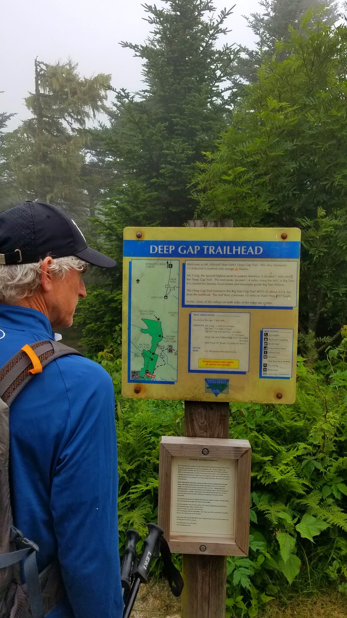
From the parking lot, Deep Gap Trail leads through the picnic area and into a Hansel and Gretel alpine forest, misty and cool, with secret moss-covered places for storybook creatures to hide. I’m sure we added an hour to this hike just by taking photos.

The view from the top of Mount Craig - 6,650 feet

Deep Gap Trail continues its ramble eastward along the ridgeline, an ever-so-slight downhill to the summit of Big Tom at 6,580 feet. These two peaks and several more 6,000 footers are lined up along the Black Mountain Crest. I’ve hiked them before as part of the South Beyond 6000 Challenge.


Michaux’s saxifrage growing in mossy spots

I remembered that the trail was rugged, yet I was still surprised by the big boulders and roots and intimidated by the ropes set in place for ascending and descending Big Tom’s slippery rock faces. 


Looking back up at what we just scrambled down

We turned right off of Deep Gap Trail, plunging steeply downhill on Big Tom Gap Trail (#191-A), which sees far less foot traffic. It was narrow, poorly marked, and alternated between piles of rocks and overgrown tall grass such that we couldn’t see our footing.  Jim was especially good at stepping into holes and yelping. This trail wasn’t long but it was ornery.

At the intersection with Buncombe Horse Trail we paused for a snack break, then turned left to follow Danny's directions to Maple Camp Bald. This trail was even less traveled, and since we were following the route in a different direction and weren’t checking mileage, it was challenging to determine when we had reached our destination. The vegetation was nearly chest high, which afforded the opportunity to enjoy the profusion of yellow flowers.

St. John’s Wort

Whorled loosestrife

Southern bush honeysuckle


Looking across the South Toe River valley towards the Blacks – are they on fire?
No, but those gathering clouds got our attention.


We arrived at a campsite with a nice view – could this be Maple Camp Bald? The “bald” is very broad and we couldn’t find a summit marker. We kept going for a bit, then turned back,
figuring we had done our best.

Buncombe Horse Trail was wide and very flat, rocky as to be expected, and required paying attention to navigate muddy spots. At this level of alpine elevation, the temperature was cool and comfortable (unlike our home in Charlotte, sweltering in the 90-plus degree heat).  Those dark clouds were concerning, and persistent thunder rumbled for the couple of hours we were on this trail, but they didn’t produce any wind or rain. (On our drive home we saw evidence of lots of rain in the valley.)

Galax

Surprise of the day – one purple fringed orchid

We stopped for a quick lunch at a campsite near the junction of the Buncombe Horse Trail and the Mountains-To-Sea Trail. With less than two miles to go, it was tempting to just keep pushing, but I’m glad we stopped to eat and rest. We had a big job ahead of us climbing up Mount Mitchell.

The MST runs concurrently with Mount Mitchell Trail and I’ve hiked this section several times, both up and down. It is seriously steep, unforgiving terrain, with encouraging (or discouraging) signposts of elevation progress (ex. 5900, 6250, etc.) It is a mental challenge as well as a physical one. The best advice I have is to go at your own pace. In total, the trail is about an 800-foot elevation gain in 1.6 miles, and Jim and I completed it in exactly one hour.

As we neared the parking area, we met the flow of people just getting onto the trails. It was a good decision to hike clockwise for more solitude. [We saw only five hikers on Deep Gap Trail and no one else until those folks near the end of the loop.] It was just good luck that thunderstorms never developed while we on the trail.

We stopped at a little brewery in the town of Marion to see if they were COVID-friendly (yes). Jim loves trying local beers and I’m happy that most places now offer ciders too. Mica Brewing had one of my favorites from Wisconsin on tap: Ciderboys Peach County! We toasted Danny’s contributions to the hiking world and another safe, magical day in the North Carolina mountains.

“The world is big and I want to have
a good look at it before it gets dark.”
~John Muir