Monday, December 5, 2016

Super Opportunity: Smokies 900 Round 2 - Bradley Fork & Smokemont Loop Trails


Bradley Fork & Smokemont Loop Trails – 6/25/16 – 5.6 Miles
The National Parks: America’s Best Idea.  2016 was the 100th anniversary of the National Park System, a year-long celebration of events across the country.  Did you know there are 413 National Park units?  We can easily name some of the large parks, such as Yellowstone, Yosemite, and the Grand Canyon, but there are many national historical parks, battlefields, military parks, historic sites, seashores, recreation areas, preserves, rivers, scenic trails, memorials, monuments, and even an “other” category.  What a gift to ourselves, preserving and protecting spaces that, if lost, cannot be re-created, both wild and manmade, part of our history and heritage.  The newest addition, on the eve of the National Parks birthday, is Katahdin Woods and Waters National Monument. 

My favorite national Park (surprise!) is the Great Smoky Mountains National Park (GSMNP). In early 2016 a calendar of centennial events was introduced and the most intriguing invitation was a hike with the park superintendent, Cassius Cash.  I was more than a little excited to join the group on a Saturday morning. Bonus: Also leading the group was Backcountry Management Specialist Christine Hoyer, whom I had the great pleasure of meeting and working for on a Trails Forever project in 2012 (rebuilding Chimney Tops Trail).

 Superintendent Cash and Christine Hoyer

Superintendent Cash inspired the “Hike 100” challenge for GSMNP and he, along with his wife and their younger daughter, has been leading the way to get past the parking lots and hike 100 miles during the centennial.  On a warm June day our group of 18 enthusiastic participants hiked the classic loop of Bradley Fork and Smokemont Loop Trails counterclockwise from the Smokemont campground. Now, 18 people do not hike efficiently but our purpose was fellowship and fun rather than speed. We split into two predictable groups, a-little-bit-fast and a-little-bit-slow.  The faster folks were happy to stop and catch a breeze as the slower folks made their way along the trail. 

Cash adeptly spent time walking with each hiker, chatting about the park, its history and his vision for the future.  He is directing a great amount of energy to promoting the outdoors for the next generation and his enthusiasm for the empowering and healing benefits of nature is infectious.  Read and/or watch this video about his background and his work at GSMNP here.

Crossing Bradley Fork on one of the longest footbridges in the Park

Lunch break

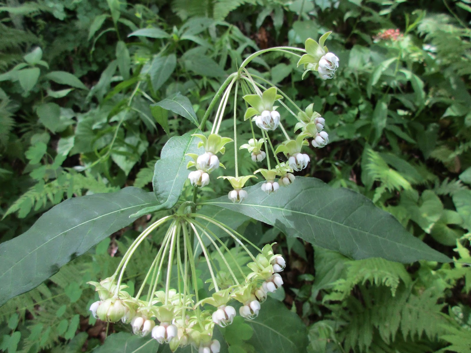
I don’t have much description for the trails on this hike because I was concentrating on the energy of the group.  Several of us found that we had mutual friends in the hiking community.  I especially enjoyed Cash and Christine’s stories and dreams for the Park.  I’m sad that I live too far away from the Smokies to play a bigger part in the day-to-day life of the Park - but I can strive to increase my visits.

Hanging with the rock stars: Cassius Cash, Christine Hoyer and little ole me

This hike took place in June 2016, but I am writing in early December 2016.  On November 28, a wildfire originating near the summit of Chimney Tops Trail, exacerbated by high winds, swept down through the Park, felling trees and power lines, sparking more fires, and consuming a vast portion of the town of Gatlinburg.  More than 15,000 acres in all were burned.  While the devastation to the Park is heartbreaking, the loss of 13 lives and over 1,000 buildings outside the Park is an even greater tragedy.  Nature will renew itself and buildings can be rebuilt, but loved ones are gone and livelihoods are forever altered.  

The fire is believed to be human caused.


Monday, October 17, 2016

Smokies 900 Round 2: Thomas Divide & Kanati Fork On A Summer's Day


Smokemont Weekend – 6/24/16 – Thomas Divide/Kanati Fork Trails (Plus A Bonus Trail) – 13.9 Miles

I had a very special date for a Saturday hike in Great Smoky Mountains National Park and decided to make a weekend of it and crank up the excitement by trying something new.  I pulled into Smokemont Campground on Friday morning, quickly popped up my tent on one of the last available sites, and drove with a churning stomach to the Kanati Fork trailhead. All week I had been talking myself into a hike plan that involved… hitchhiking.

Okay, that’s not a big deal to some, and I’ve asked for rides at trailheads a couple of times with other hikers, but I had not done it alone.  I wanted to hike part of the Thomas Divide Trail from Newfound Gap to Sunkota Ridge, then retrace back up Thomas Divide to the Kanati Fork intersection, then follow Kanati Fork out to Newfound Gap for a total of about 10 miles. It was just a short distance along Newfound Gap Road from my beginning point to my exit point, but hiring a shuttle driver was impractical (and expensive) in the middle of the GSMNP.  So…hitchhiking.

At the big Kanati Fork trailhead I parked, put on my boots and my daypack, brandished my hiking poles, and stood by the road with my thumb extended, smiling enthusiastically.  Many slowed down (what is that by the road, Marge?) but no one stopped.  I was willing to give it 15 minutes or 50 cars, whichever came first, and both limits were reached at about the same time.  I began walking backwards to my car, still smiling, but already rethinking my plan. 

Hold on – is that car’s turn signal on?  Yes, a kind soul is going to give me a ride!  In fact, it’s two kind souls, and they are driving an official park ranger SUV.  Hmmm…

Two newbie rangers, one two months on the job, the other on his first day. They were very friendly to this “mature” female hiker, but also very official, asked for my driver’s license (oops, that’s my library card) radioed in to check me for outstanding warrants (really) and asked me if I was carrying any weapons (no).  I did not remark that firearms are legal in national parks.  Then they gave me a ride to my trailhead at Thomas Divide.  All in all, the best case scenario for me, because I was able to start my hike at the desired entry point and the rangers knew who I was for safety purposes. 

My steps were lighthearted and I felt very strong as I skipped along Thomas Divide.  In total, it is one of the longest trails in the GSMNP at 13.6 miles.  The end I started from is a delight, gently undulating along a ridge. (Later it drops steeply to Deeplow Gap and drops again ultimately to Gailbraith Creek Road).

I walked a mile and stopped for a lunch break, noticing what I heard – the wind, the birds – and what I didn’t hear – cars/planes/people.  (Okay, it’s hard to get away from the motorcycle noise on Newfound Gap Road.) 

Also noticing what I saw – green leaves, moss, leaf litter, ferns, bark, shadows – and what I didn’t see – power lines, pavement, billboards.

The breeze made the late June flowers dance and elusive to photograph:

Flame azalea

 Fire pink

Four leaved milkweed

White bee balm

Columbine, a rare treat.  It blooms profusely but for a very brief period 

Galax

Spiderwort

Red bee balm

Squaw-root or squawcorn - a parasitic plant that grows on oak roots, no chlorophyll

As I passed the Kanati Fork intersection I met a group of out-and-back hikers.  I don’t think they noticed the old wild boar trap about a hundred feet off the trail. 

The next 2.8 miles of Thomas Divide Trail has a different  feel than the first portion, narrower, a path less traveled.  It drops down to Tuskee Gap and then wakes you back up with a brisk uphill to reach the intersection with Sunkota Ridge Trail (another ridgeline that is beautiful to hike).   I turned around there and retraced my steps to the junction with Kanati Fork.

Kanati Fork Trail descends steadily 2,100 feet over 2.9 miles, with nary an upward step, through a cove forest with a couple of small seeps and more wildflowers.  It seems that the trail is rarely used despite its prominent location, perhaps because of its steepness – a lot of effort with no featured destination such as a view or a waterfall or even a sizable creek – or maybe because of its proximity to the popular Kephart Prong Trail with its gentle elevation gain, stream crossings and CCC artifacts.

But Kanati Fork Trail does have an awesome feature that I think is worth the effort:  stunning Dutchman’s pipe vines located at a sharp switchback about a mile from the lower trailhead. 

Tree burl

Deeply furrowed bark – black walnut?

In some places the trail was obscured by the lush vegetation

My hike was over sooner than expected.  With hours of daylight left, I looked over my trail map and saw a little out-and-back trail that I could easily tackle, so I drove out Straight Fork Road to Hyatt Ridge Trail.  Just 1.8 miles up and 1.8 miles back down, no big deal.

Well, Hyatt Ridge was a steady climb up that kicked my butt. Maybe I was tired after a long drive, a 10-mile hike and the heat of the day. I’m sorry to say that this was just to check off a box.  I tapped the sign at the intersection, turned around and marched unceremoniously back to the car.

Tried to get a good night’s sleep before the big day tomorrow!

"A wildflower blooms for its own joy."  ~Oscar Wilde


Monday, September 5, 2016

AT in TN: Backbone Rock Trail SOBO to Low Gap


Appalachian Trail in TN – Backbone Rock Trail SOBO to Low Gap – 6/18/16 – 12.2 Miles

Steaming in the summer humidity of the North Carolina Piedmont, it’s important to remember that reasonable temperatures and cool breezes are waiting in the mountains.  In mid-June the Appalachian Trail was calling, “There are still parts of me you haven’t seen just over the state line in Tennessee!”

I had a little difficulty working out a shuttle for my hike.  Sun Dog Outfitters in Damascus was not able to make my timetable, which wasn’t surprising since I was calling just two days ahead.  But…when I asked if they could recommend any other shuttlers they said no, they didn’t know any.  [I thought perhaps a local resident might run shuttles on the side.]  Well, my next call was to Mount Rogers Outfitters, which set me up in about five minutes.  They were dropping off hikers at my starting point at Low Gap at the very time I wanted to be picked up.  Curious that Sun Dog didn’t mention MRO to help me out.  When I asked the MRO shuttle driver what was up with that, he shrugged and gave me a meaningful sideways look, but no comment.

90+ degrees in Charlotte, NC, 69 degrees in Shady Valley, TN, low humidity, a spectacularly clear day.  I’ll take it. 

My hike started on Backbone Rock Trail in the Backbone Rock Recreation Area on Highway TN-133 in Cherokee National Forest.  Several years ago I hiked down Backbone Rock Trail to exit the AT and today was the day to connect back up.  The 2.3 miles going up the trail felt easier than that earlier descent, still steep but minus the slippery leaves, and the trail was easier to discern.  I’m thinking some good trail maintainers have been at work. 

At the AT intersection I turned south and hiked for about a mile to an unnamed gap.  There was a sweet campsite with log benches around a fire pit, so I sat down for a leisurely lunch.  Two men going northbound stopped at the same time and introduced themselves as James and James, father/son.  For the past 10 years Dad has been talking about hiking on the AT and had recently retired.  Son said, “Let’s go and celebrate retirement and Fathers’ Day.”  So here they were!  Today was the first experience on the AT for both, day hiking 15 miles from Low Gap to Damascus.  Son James is a Marine veteran, early 30’s, physically fit and having a blast.  The 15 miles seemed like a big bite for Dad, but he was making a memory with his son and it was all worth it.
Son James was operating on practical experience in the Marines where he learned “forced marching” but carrying weight, etc., and he knew enough to have plenty of fluids for this stretch where no water was available.  He had a multitude of questions about all aspects of day hiking, section hiking and thru-hiking.  He asked about maps and guidebooks, and I showed him AWOL’s pages and the Appalachian Trail Conservancy map that I carry and how I use both to stay oriented on the trail.

I introduced myself as Smoky Scout and the younger James asked about the concept of trail names.  “How do you get one?”  I explained that hikers are often christened by other hikers with a trail name because of some circumstance or trait, and sometimes it’s good to choose your own before someone else chooses one you may not love.  For example, he’d said he was carrying Gummi Bears, so I said his trail name could be Gummi Bear.  He laughed and said he’d take it because a hiker had now given him his trail name.  Dad used to be called Eight Track, so that is now his trail name. 

What a treat to meet these fellows at the dawning of a new adventure!  I wish them well.

The rest of my hike was over easy terrain, rolling gently up and down the ridgeline, verdant with every shade of green from chartreuse to jade to fern to olive to hunter green.  Sometimes I was elbow deep in the lush grasses.
Always remember to look up!
A tree’s second life as a wildlife habitat

A fallen giant

At Abingdon Gap Shelter, a maintenance crew from TEHCC (Tennesee Eastman Hiking & Canoeing Club) was replacing gutters and painting the shelter a dark brown.  We discussed renaming it the “Chocolate Pudding Shelter.”

 Just a mile south of the shelter I encountered the brief but steep bump up to McQueen’s Knob.  At the tree-covered summit (no views) stands this old shelter, built in 1934 and one of the oldest still standing along the entire AT.  Creepy and cramped quarters, no water source, reserved as an emergency shelter.

 In record time and without even trying, I soon descended to Low Gap and the end of the day’s hike.  All together I met more than a dozen hikers enjoying a beautiful day on the AT. 

The fun doesn’t necessarily end at the car, though.  I made a quick stop at Shady Valley Country Store, a throwback (intentional?) to days past.  Three fellas rocking on the porch said hey.  Inside, the shelves were sparsely filled but there were plenty of cold beverages floating in the ice-filled bucket.  The farmer in front of me at the cash register was buying ten feet of rope, paying with a third-party check.  He made the teenaged cashier work it out with a pencil first to check the math.  However, this store does have a Facebook page!

As often happens, the drive home was painful payback on a Saturday, fighting the traffic through Boone, Blowing Rock, Lenoir, Hickory (where a traffic accident created a detour off of the main road through a neighborhood), and my personal nemesis, the town through which all western destinations flow: Gastonia. 


“For in the true nature of things, if we rightly consider, every green tree is far more glorious than if it were made of gold and silver.” ~Martin Luther