Thursday, July 16, 2015

Smokies 900 Round 2: Shuckstack - The Price of a Priceless View


Smokies 900 Round 2 – Shuckstack Lookout Tower Loop – 5/23/15 – 17.2 Miles

Jim was participating in the Mountains of Misery bike ride for Memorial Day Weekend and I felt like I needed some Great Smoky Mountains exposure.  Even though I’ve hiked every trail in the park, there is an intangible tether that keeps drawing me back.  Lucky for me, my hiking friend Jeff hadn’t been to Twentymile in the Smokies…yet.


Staring at the trail map, hiking routes began to emerge, two big loops, one including Shuckstack lookout tower and another passing over Gregory Bald, with the intriguing option of camping close to parking and not having to haul heavy loaded backpacks.  Sitting in my living room with that map, I felt my endurance superpowers flexing – 17 miles one day, 12 miles the next, about 6 for the walk out.  Sounds like a plan. 

Another first for me:  the online backcountry reservation system.  This being a holiday weekend, openings were scarce especially for Sunday night.  I booked two spaces for two nights at Campsite 93.

After a very early start Saturday morning and a long drive past Bryson City and Fontana Dam, Jeff and I arrived at the Twentymile Ranger Station, the last entrance into the GSMNP before reaching Tennessee. The parking lot was more than half full.  Assembling gear for a backcountry weekend is standard for me now, but this time I added a daypack strapped on the outside of my backpack.  Our campsite was 1.5 miles from the car.  The plan was to hike in, set up camp, fill up with water and put essentials in my daypack before continuing on our loop. 

Twentymile Falls on Twentymile Creek

A mere mile-and-a-half in, Campsite 93 was not inviting - looked like wild boars had rooted around the fire ring, plowing up dirt.  No level spots for tents…but a more extensive walk-around showed a long, narrow flat area by the creek.  Jeff claimed a tight spot beside the water and I chose a space near one end of the larger area.  I couldn’t fully erect my Lightheart tent because I needed hiking poles for the day, but I staked it out as a large bright fuschia diamond shape on the ground as a signal that signal someone was planning to park there for the night. 

Continuing on Twentymile Trail, I was fascinated with the profusely blooming lyre-leaved sage and yellow star grass.  A gentle breeze blew the tiny flowers enough that clear photos were impossible. 

What we had hoped to find:  flame azalea

And mountain laurel (Jeff's photo)

Rattlesnake hawkweed

Critter holes

Meadow parsnip, also hard to get in focus

Purple phacelia

Focal point of our hike:  Shuckstack lookout tower away up there

We turned right onto the AT and continued gradually ascending to the turnoff to Shuckstack.  I’ve visited the tower several times and remembered that the steps were precarious, hand rails were missing, and I told Jeff I would wave to him from the safety of the ground if he climbed up.  What a pleasant surprise to find that the tower has had some TLC renovations, new treads and complete hand rails!  Made it all the way to the cab…which looked untouched, rotting plywood floor…well, I’m here now so might as well enjoy the view.

Looking east and north and down at Fontana Lake

Looking north into the heart of the Smokies


All that remains of the caretaker’s cabin at the base of the lookout tower

Jeff on the tower steps

After lunch with a view, Jeff headed to the bottom.  As I swung my daypack onto my shoulders, my camera slipped off of the pack belt and fell to the ground.   Look out below!  Jeff rescued it, and at first it appeared to just have a dinged corner (it was inside its padded case), but it wouldn’t turn on.  Maybe the battery wasn’t connecting?  A good thing I had my cell phone with its camera.  The hike must go on.

We turned back onto the AT, retraced steps to the intersection with Twentymile, and continued on the AT to the next intersection with Gregory Bald Trail.  Along this section we spotted wild geranium, spiderwort, what looked like monkshood (not sure, seemed too early) and lots of Catesby’s trillium and Vasey’s trillium.  Jeff left the trail for his usual obscure peakbagging thrills and I kept going, with an agreement to catch up again at the intersection of Gregory Bald Trail and Long Hungry Ridge Trail.

Hairy Buttercup

Wild azalea buds

After the wide open boulevard of the AT, Gregory Bald Trail was surprisingly faint and overgrown, making me feel a little isolated.  My caution radar turned up.  Less than five minutes on the trail, I heard a loud grunt and saw three black shapes.  Two of them ran left and one ran across the trail to the right.  Oh dear – a mama bear and cubs?  I didn’t dare go further for fear of walking between them.  I banged my hiking sticks together, yelling, “Hey bear!” and then the critter to the right ran back across the trail.  Not a bear – a wild boar!  An even rarer sighting and potentially even more dangerous.  Boars are mostly nocturnal and this was the middle of the afternoon.  Their presence in daylight and remembering the rooting evidence back at camp made me realize that they were quite prevalent in this section of the Smokies.

A quarter-mile later I encountered a man hiking toward me on the trail.  I warned him about the wild boars, and he relayed a long story about a female turkey harassing him, running around him in circles, squawking and threatening.  I found this a little farfetched, said my goodbyes and good lucks, and continued on.  [Jeff met the same guy later, wouldn’t stop talking about that turkey.]

Well…the same turkey harassed me.  I kept moving quickly through her ‘hood and she didn’t pursue me.  Probably defending her nest.

At the Long Hungry Ridge/Gregory Bald intersection I waited for Jeff, worried about the time and hiking in the dark.  From that junction it was six miles back to Campsite 93.  No pen to write a note, so I made a stick arrow on the ground and hoped that Jeff would interpret that as me “moving on.”  I left at 5:20 p.m.

I sped along the 4.6 miles of downhill, but not too fast to appreciate more mountain laurel, Bowman’s root and false Solomon’s seal. 


After passing Campsite 92 the trail leveled out and the mountain laurel formed a glowing white arbor in the waning light.  Somewhere along there I lost my bandanna, a favorite from my Hike For Discovery days.  I also picked up a red bandanna earlier in the day.  Not a fair trade.

For those of you following along my counterclockwise loop, I made a right turn onto Twentymile again and hiked 1.5 miles back to our base camp, making record time and arriving around 7:30 p.m.  There was another tent – right beside mine.   What up??


Meet Yo and Teddy, University of Tennessee graduates preparing to enter med school, on their first ever backpacking trip.  Teddy had some camping experience from Boy Scouts and they followed my example for tent placement.  What was supposed to be a site filled with eight campers ended up being just us, and these guys were delightful.  We chatted nonstop as we cooked dinner by the fire ring, and I was beyond excited when Teddy lit a small campfire, something my backpacker friends never bother with. 

I kept one eye out for Jeff and felt relieved when his headlamp came bobbing down the trail at about 8:15 p.m.  As he cooked his supper, he asked me to look at an irritant in his eye.  Well, here were two med students who would love to play doctor! 

Gains, losses, wild animals, new friends – a very long and rewarding day outdoors.  Dirty, tired, well fed and loving life.  This is why we do this.  And… here comes another headlamp!  The weird turkey guy walked up to our campfire and began regaling us again with his harrowing story.  After about two minutes of that, I said good night, John Boy, crawled into my pretty pink tent by the creek, fell asleep to the sound of gurgling water.

“It is one of the blessings of wilderness life that it shows us how few things we need in order to be perfectly happy.” ~Horace Kephart, Camping and Woodcraft, 1917

Monday, July 6, 2015

Grandfather Mountain: Profile Trail & Calloway Peak


Grandfather Mountain State Park – 5/1/15 - Profile Trail/Callaway Peak – 7 Miles

Something rustling in the dark… Is that a mouse?  No, it’s Jim up very early getting ready for his big bike challenge.  We had to get organized and leave our hotel room at crack-of-dawn-thirty.  He planned to ride his bike to the starting line in Banner Elk and I wanted to be far out of the way when hundreds of cyclists swarmed the roads.  A hike at Grandfather Mountain would entertain me for just the right amount of time to return to the finish line at the top of Beech Mountain.

Gearing up for the Beech Mountain Metric

Although I’ve lived in North Carolina for 34 years, I have avoided hiking at Grandfather Mountain because the weather is such a significant factor.  Wintertime means extreme cold, record-breaking wind gusts and icy conditions.  Summertime means quickly developing thunderstorms with too little time to get off the exposed rocky areas at the summits.  Spring and fall – well, it’s always crowded.  I did hike there once in late 2013 and found the trail to be arduous and slow going.  But today I was in the neighborhood, so I sucked it up with the attitude that I’ll get however far I get and be ready to bail out. 

Most NC state parks are free, but Grandfather was formerly privately owned and has infrastructure and substantial maintenance needs, so a fee is charged at the main entrance.  Then you can drive on up to the Mile High Swinging Bridge and restaurant and various trailheads.  However, if you’re willing to walk, the Profile Trail access on Highway 105 is free.  Get there early.


What a glorious morning!  The trail was lush and meticulously maintained.  I noted many wildflowers that I saw at Big Creek in GSMNP a few weeks ago, plus a couple of new ones like rosy twisted stalk and large flowered bellwort.

Jack-in-the-pulpit

Foamflower

The spotlight flower of the day was umbrella leaf in full flower, its enormous leaves blanketing the sloping mountainside

Each bloom more intricate and beautiful than the one before

Okay, now I’ll stop!

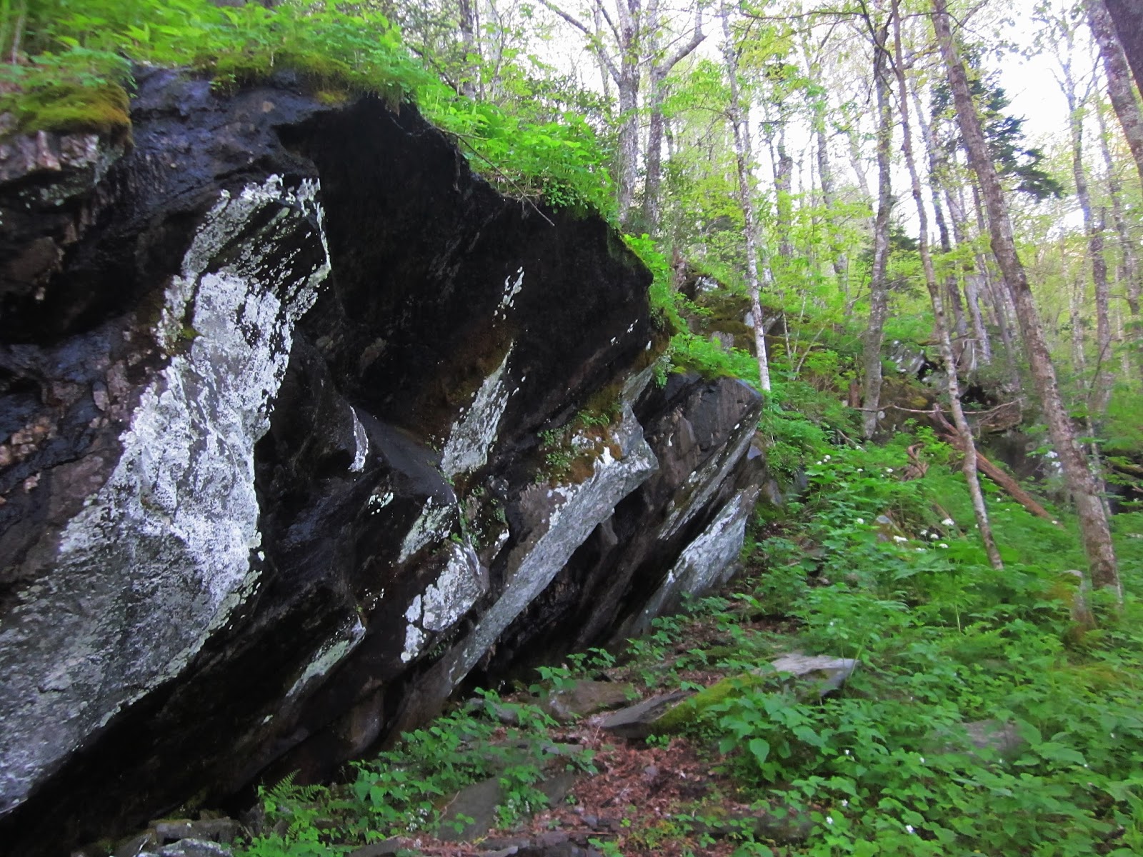
The elevation gradually steepened and I slowed down.  Boulders began to appear alongside the trail.

The namesake attraction of the trail:  the Profile.  On my way back down I met a cute young couple here and took their picture.  They were very excited because this was their second hike – EVER (their first was Crowders Mountain).  They were from the NC coast. 

Some impressive stone and trail work on a section called “Peregrine’s Flight”

White violets lining the trail

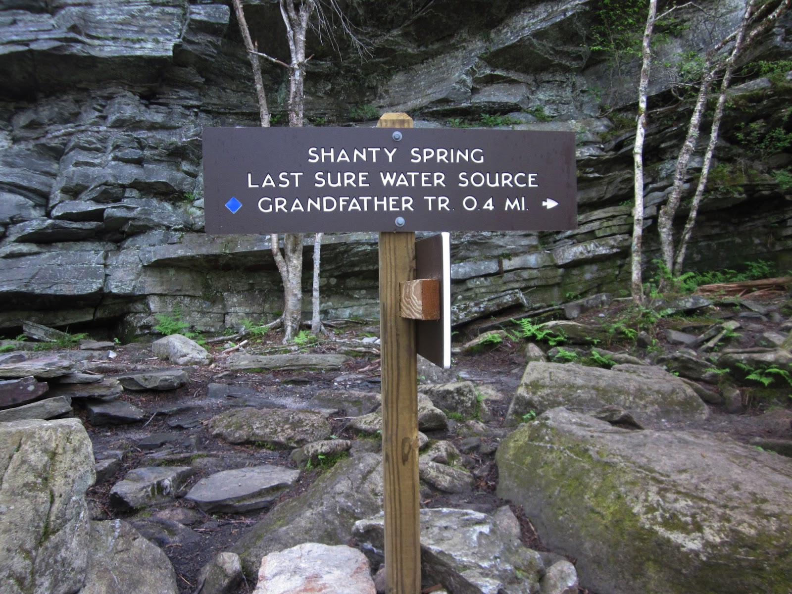
At Shanty Spring – hope you have enough water! 

The last .4 miles to the top of the Profile Trail has a seriously different character than the lower section.  The grade is extremely steep and climbs up a field of large boulders.  Why don’t I have any pictures of this?  I was working too hard! 

At the intersection of the Profile Trail and the Grandfather Trail, the morning was still young so I turned left to continue on to Calloway Peak, the 5,964-foot high point of Grandfather Mountain.  Still going up, of course, and this .4-mile section features some ladders and rock scrambling.  At this elevation the forest features spruce and fir trees and I spotted a couple of late-blooming painted trilliums.


If you do this hike, don’t skip the little side jaunt to Watauga View just a short distance from Calloway Peak summit.  On this clear day I was more than a little excited at this view featuring a faint Hawksbill and Table Rock on the horizon (they look like cat's ears).  I have seen these two iconic peaks from many points in my hiking life, especially during my Mountains-To-Sea Trail days. 

Creamy white witch-hobble blooming at Watauga View

At the summit of Calloway Peak, looking at MacRae Peak (which also features a little-bit-scary ladder climb). 

There were half a dozen hikers at the peak and more on the way so I didn’t linger.  I had a timetable to get back to meet up with Jim.  The hike back down the rocks was a challenge in reverse.  I met about 30 people on the return, many of them asking me how far to the top and was it worth it.  I tried not to judge those who had on flip flops and were talking on their cell phones.  They would learn a lesson without my input. 

At the parking lot, the rangers had closed access and were directing cars away.  Again, get there early!  Driving back to up Beech Mountain, I slowly and cautiously passed weary cyclists on their insane climb to the finish line.  I decided that I like hiking best. 


“Those who dwell among the beauties and mysteries of the earth are never alone or weary of life.”  ~Rachel Carson


Thursday, June 25, 2015

Prelude To A Bike Ride: Upper Creek Falls (With A Hawksbill Teaser)


Upper Creek Falls – Pisgah National Forest - 5/15/15 – 1.5 Miles

Jim signed up to participate in the Beech Mountain Metric bike ride, scheduled for a very early Saturday morning start.  He always invites me along on these trips, so I can watch the inspiring start and amazing finish – and entertain myself in between.  Well, this time I said yes.  

Despite the shaky weather conditions – a little rain and fog – on Friday we wandered our way towards the North Carolina high country.  Tucked away off of Highway 181, a sweet little hike leads to Upper Falls in the Grandfather Ranger District of Pisgah National Forest.  [By now it should be obvious that Pisgah National Forest spreads like an ink blot across western NC.]  I found details for this waterfall hike in Kevin Adams’ book North Carolina Waterfalls. It’s also on Carolina Mountain Club’s waterfall challenge list.  There was one car in the parking area but we didn’t see anyone else on the trail.


Seemed like a good day for Jim to test drive my hiking poles.  I followed behind and could see that he didn’t fully buy into them at first.  It does take some practice.  By the end of the loop he was using the poles more naturally and relying on them on the uphill.  I was definitely uncomfortable without them, feeling less balanced and constantly holding onto trees on the steep downhill.  

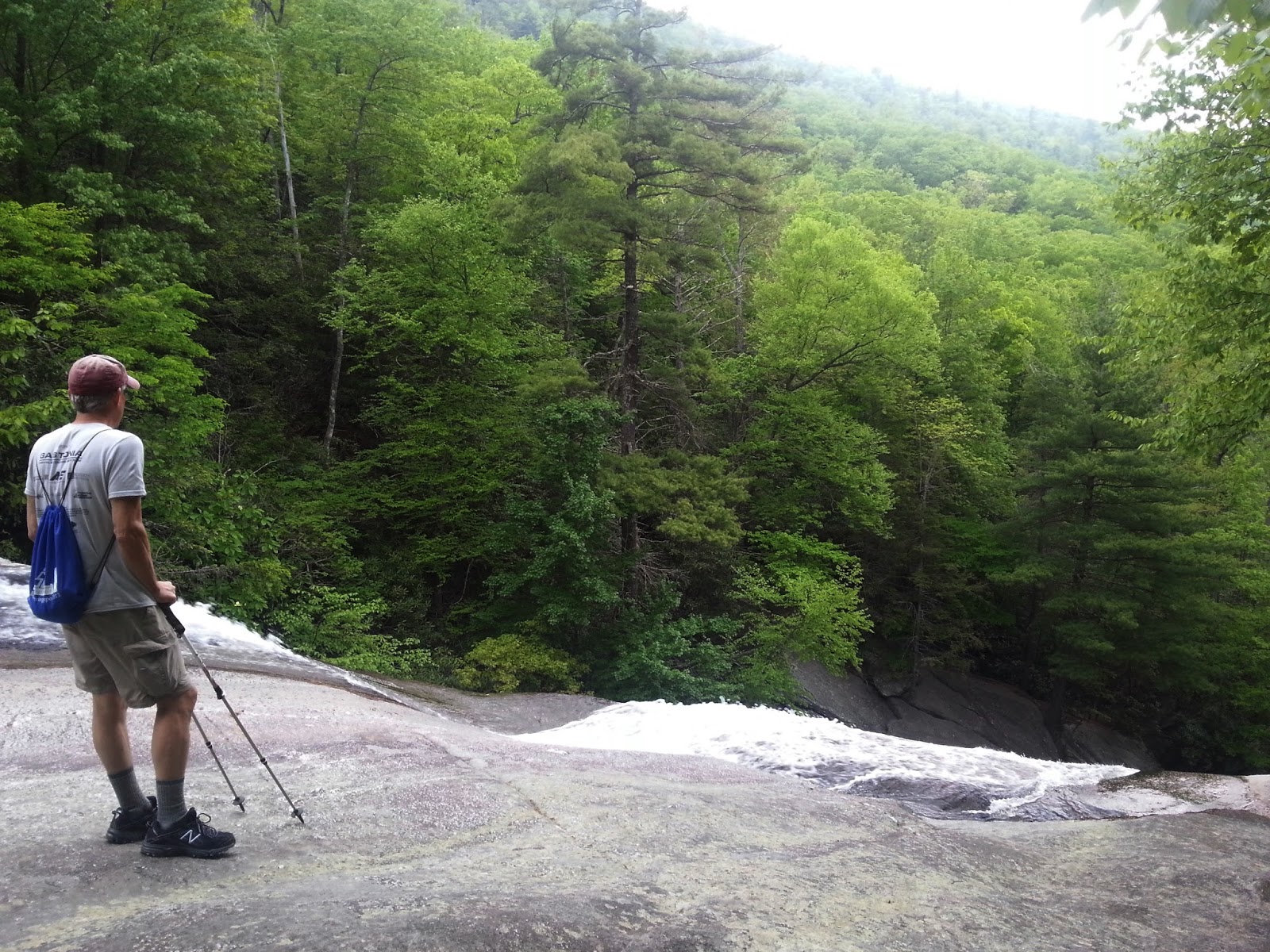
Hiking the 1.5-mile loop clockwise takes you to the top of the falls first.  The expansive rock is tempting to walk out on, but don’t go too far trying to see over the drop.  You will not be able to tell anyone about it because you will be a goner.

At the top of the falls


Crossing the rock face and continuing clockwise, the trail descended steeply with several side trails shooting off to the right toward the waterfall.  We resisted, as per the guidebook, and continued on the main trail to the obvious path to the bottom.

And…Wow!  Unexpectedly huge. 

Continuing the trail’s descent, I was delighted to find several clumps of Clinton’s lilies in bloom.


Lower Falls of Upper Creek (surely the settlers could have thought of a more unusual name than that?) is a run of small cascades and slides.  One wide step across the flow today, but looked like it could be challenging after a big rain. 


After crossing the creek, the trail headed back up the mountainside via a long series of switchbacks.  It looked like the original “trail” was one steep shortcut, still quite visible and probably used by many, and the switchbacks double the distance, but Jim and I stayed faithful to the trail builders trying to minimize the erosion.  Lots of pink rhododendron blooms woven into the canopy.

Large boulder area with anchors imbedded for rock climbers

Just a couple of miles further up Highway 181 is the left turn to access Hawksbill, a medium-sized mountain with an expansive rocky summit and the best views of Linville Gorge.  The hike is about 1.6 miles round trip.  Jim and I didn’t visit Hawksbill today, but on Easter Sunday we hiked it with our son Brett. 

Jim, Brett and me on top of Hawksbill.  Grandfather Mountain is the bumpiness in the middle horizon

Brett looking into Linville Gorge

The reason I’m mentioning Hawksbill here is that these two short hikes, Upper Creek Falls and Hawksbill, are an excellent combination for a day trip.  Both trails have some elevation gain and loss, but are doable for just about anyone willing to experience a little heart rate increase, a little heavy breathing, and take his/her time.  The rewards are great.  And then there’s barbecue at Judge’s Riverside in Morganton.  Or Italian cuisine at Sorrento's Bistro in Banner Elk, where we ended up tonight.

Jim's gearing up for his big ride tomorrow and I'm going to hike up Grandfather Mountain

“We live in a wonderful world that is full of beauty, charm and adventure. There is no end to the adventures we can have if only we seek them with our eyes open.”   ~Jawaharial Nehru