
Appalachian Trail – 5/11/13 - Southbound Hwy 19E to Hump Mountain – 10 Miles
About two years ago I hiked on the AT with the Carolina Berg Wanderers from Carvers Gap to the summit of Hump Mountain…and turned around and
hiked back. Now looking for a moderate
hike to put on the Berg calendar and invite some guests, I decided to conquer
Hump Mountain from the other direction. Ten
miles round trip, all the way up and all the way down.
Joining me and five Berg members were my friend and book club buddy, Leida, who is hooked on hiking and has indoctrinated her husband, Carlos.
Joining me and five Berg members were my friend and book club buddy, Leida, who is hooked on hiking and has indoctrinated her husband, Carlos.

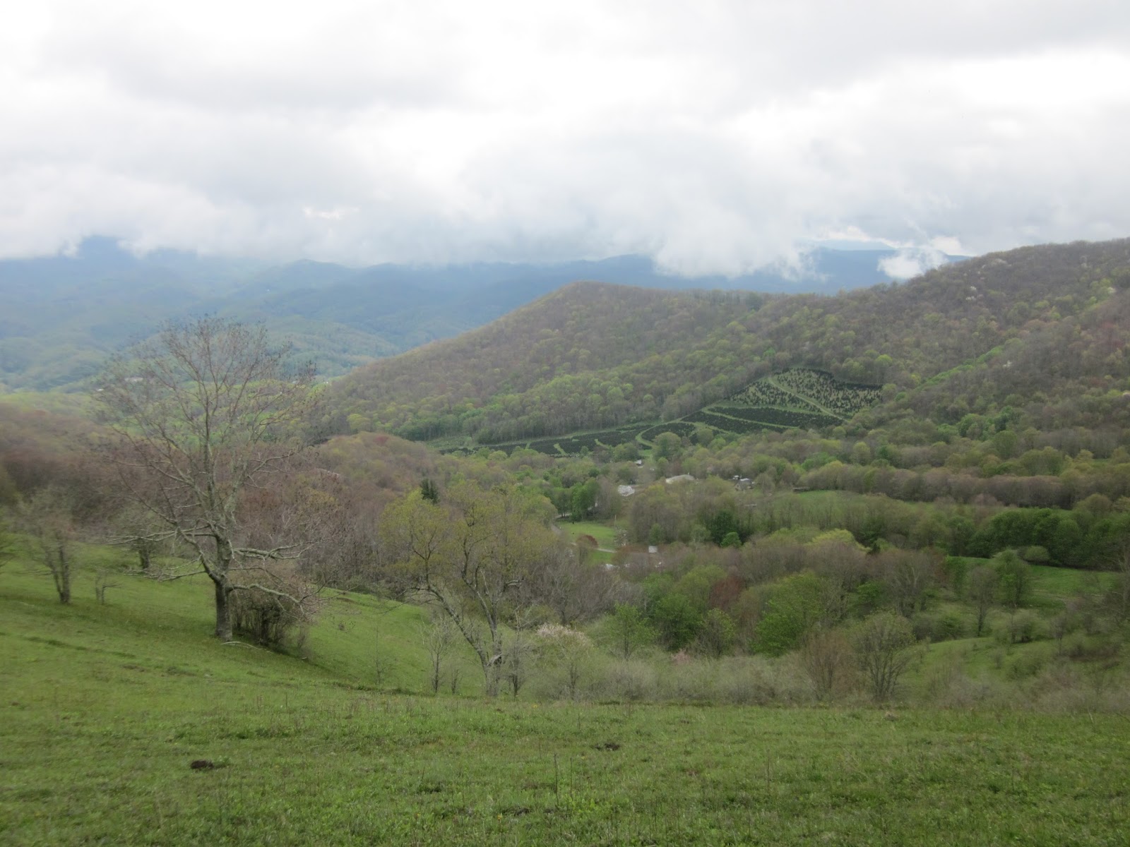
The Appalachian Trail wanders back and forth across and
sometimes straddles the North Carolina-Tennessee state line. Our hike started at Highway 19E in Tennessee
and headed southbound. Hump Mountain is located in North Carolina at
the northern end of the Roan Mountains, the longest stretch of grassy bald (highland
meadows covered in thick grass and sparse trees) in the Appalachian range and considered
one of the most scenic sections of the AT.
Weather forecast?
Terrible, of course, 70% chance of rain and thunderstorms. So we’re goin’.

Spring flowers continue to thrill: fringed white phacelia

Can’t find this one in my flower book

I’m pretty sure Carlos was taking a flower photo here

Large-flowered bellwort

Purple wakerobin

Wood-betony – one of my favorites

A steady climb on a winding, rocky trail. Overcast but no rain yet.
Three miles into the hike we arrived at Doll Flats, where
the AT crosses back into NC south- bound, for some “smoky” views down into the
valley. For northbounders this is the
last location for camping on the AT in North Carolina. Leida, Carlos and I were enjoying a leisurely
walk and the rest of the group had passed us; however, now the skies were
looking a little more serious so we picked up the pace bit.
Coming out of the woods for the final time to approach Hump
Mountain, clouds were gathering fast, the wind was picking up, and the rest of
our group was coming down from the summit.
Carlos and Leida opted to turn around then. I went for my goal of reaching the top.

Thar she blows – Hump Mountain - Objects in photo are farther away than they appear
The rain hit me about halfway to the top. There was no thunder or lightning, just wind
and stinging rain, and I struggled to pull my rain jacket out of my pack and
get it zipped on. Cloud cover enveloped
the mountain and sight distance was very limited. Are we having fun yet? Out of the clouds a couple of hikers appeared,
heading for lower ground. I kept
climbing, repeating a few favorite vulgarities with each step. If only I had hiked faster earlier…but who
knows whether or when bad weather will finally strike?

The Stan Murray plaque near (but not yet at) the summit of
Hump Mountain.
I confess I don’t know exactly where the summit of Hump
Mountain is. I couldn’t see very far in
any direction. I know I kept walking on
the trail until it began to descend and then I turned around and hustled my
booty back the way I had come.

And wouldn’t you know, I outran the clouds as they chased me
back down.
Once back in the trees I caught up with Barbara, one of the
Bergs, and we stopped in the now drizzling rain to catch our breath, eat a bite
and laugh at the absurdity of crazy people who hike in the rain. The remainder of the hike down to the
trailhead was sloppy and slippery with no stopping. So the weather forecast was a little bit
right, but even a wet day on the trail is better than sitting at home, right?
Dry clothes and a barbecue restaurant – what a great way to
end the day!
“A rainy day is the perfect time for a walk in the woods.” ~Rachel Carson
No comments:
Post a Comment