
On Friday, April 16 I joined my younger daughter and 6,000 others in the Run For Remembrance 5K at Virginia Tech, one of my favorite places on the planet. The weather was flawless, the race course wound around campus and through the football stadium, and it was an exhilarating event…if you could forget the reason we were there in the first place. A picnic on the drill field, visiting exhibits around campus commemorating the April 16 tragedy, and a candlelight ceremony at the memorial filled the rest of the day.
Virginia Tech is only about 35 miles away from Pearisburg, VA and access to the Appalachian Trail, so on Saturday I squeezed in a day on the trail. My daughter was busy so I arranged a shuttle to take me to the trailhead. This was another step out of my comfort zone, combining hiking alone in an unfamiliar place (i.e. outside of those Great Smokies) and relying on a shuttle to get me where I wanted to go. Of course, Neville, shuttle driver and owner of Woods Hole
 Hostel, met me at the right time and place and showed me where to place my car for the end of my hike. She gave me the history of the hostel as we drove through the valley along Sugar Run Creek. She and her husband, Michael, are living the life the rest of us just play “what if” with over a bottle of wine. Their home/hostel is a dream, an original cabin with an addition and a hiker’s cabin that is an open-air shelter but with electricity and HOT running water for showers. Neville even offers massages and yoga for true trail relaxation. After an extended tour of the place she drove me the last half-mile (which I thought I was going to have to walk) up the mountain to the AT as it crossed gravel road 199. I had to ask her
 which was trail north – sometimes it’s not obvious!
This flat section of the trail runs through Jefferson National Forest and had just a few blowdowns from the harsh winter (the trail maintainer had already been through). There were clear blue skies above but a cool breeze blowing, so clothing adjustments were constant. Trail builders made good use of the large rocks, creating steps.
My first solo hike since last year felt better than great. My fear of the woods is gone – crackling sounds in the bushes are now interesting rather than scary. No disrespect to my hiking buddies, but the experience of going at my own pace without looking at a watch to time breaks or being aware of someone else’s comfort was freeing. The ease of the terrain probably fooled me into thinking I was Supertrekker, but I didn’t stop as often and didn’t eat as much as when I hike with other people, and I never felt tired.

Doc’s Knob Shelter was the first item of interest today. Although it is thru-hiker season, I didn’t expect to find anyone there in the middle of the day, but in the shelter log I read that the fellow who had spent the last couple of days at Woods Hole Hostel had stopped here earlier in the morning.

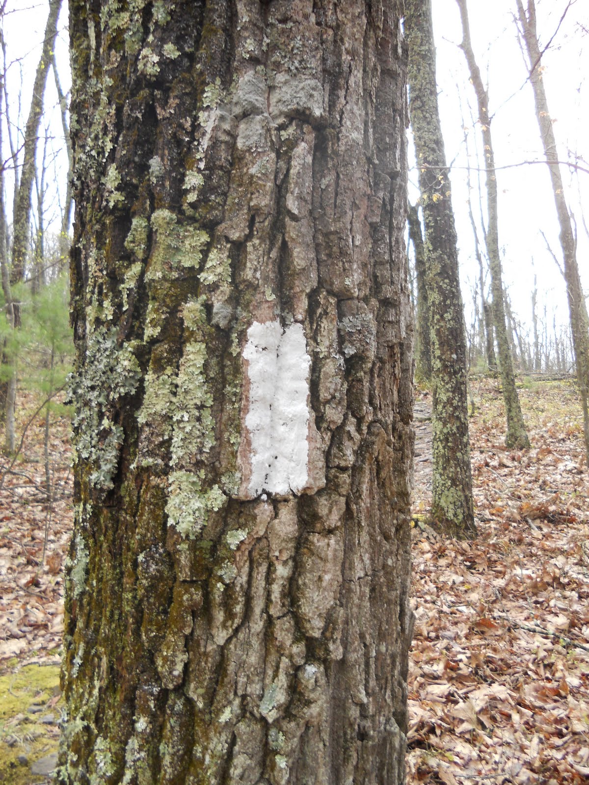
After Doc’s Knob I entered the longest rhodo- dendron tunnel I’ve ever been in – it felt like a mile. The trail goes on and off of old logging roads, widening and narrowing, and a couple of times those white rectangle blazes were key. Okay, I admit that there was a little bit of climbing after the rhodo tunnel to get to the ridgetop… but after that, I walked along the open forest ridge of Pearis Mountain as the trail skirted the rocky edge. It’s very easy to go off-trail to the right and look over the edge down into Wilburn Valley and Sugar Run Valley. Pearis Mountain is a long, steady ridgeline and since I started near the top the hiking was ridiculously easy.
A shadow passed over me and I looked up and saw giant vultures circling. It felt like a plane had passed silently over – eerie but beautiful.

Eventually the trail goes right up to the rocky cliff-like edge of Pearis Mountain at an unnamed lookout point. Here I stopped for a snack, high above the farms and tiny ribbon of road that strings them together. Spring green was creeping up the mountain and the vultures were gracefully riding the air currents.

About a quarter mile farther, the trail gently threads it way through huge boulders to a lookout point called Angel’s Rest overlooking the New River and the town of Pearisburg. In my humble opinion, the unnamed overlook was more impressive, but I guess Angel’s Rest is a more popular destination for casual dayhikers and the New River gives it more cache.

View from Angel's Rest
From here the AT begins a very, very steep descent. If you want to just hike to Angel’s Rest you’ve got quite a climb. Then the tr
 ail changes character drastically with wide, slow switchbacks – different trail building theories? I had to resist cutting straight down, but instead got distracted with the emergence of wildflowers. Obviously I still have a lot to learn about using my latest camera.
My car was parked on Route 634 so I didn’t walk all the way into Bluff City. At the end of my 10 miles I felt as though I could go for 10 more (easy to say when you don’t really have to do it). My long drive home gave me to to reflect - I felt the faint stirrings of a thru-hike somewhere deep down inside, something I've said I have no interest in because of the long time away from home. But...the beautiful weather, the peace of walking alone was very seductive...
Have you ever wandered lonely through the woods?
You’re part of the life there, part of something good
If you’ve ever wandered lonely through the woods
~ Brandi Carlile
2 comments:
A thru-hike stirring inside you? I knew you'd continue to think about it.
Go for it!
Nice write up...I am doing this dayhike this coming Saturday, and you given me a bit more perspective on what to expect!
Post a Comment