
Pembrokeshire Coast Path Day 4: Aber Mawr to Whitesands – 8/6/19
18 Miles, 3000 ft. gain

[If this reads like a diary entry full of personal
details – you’re right! It’s my story. Some info may be helpful for your trip
planning, there’s an abundance of photos because everything was so beautiful,
and I believe food and drink and human connections are the secret sauce of
traveling. As they say, “Take what you need and leave the rest.” Enjoy!]
Some confusion this morning about our shuttle back to Aber
Mawr put Danny and me on the P’shire a bit later than planned. Today’s going to be a long one (18 miles) with
another shuttle taxi at the end, so once again the fuse is lit. We’re gaining confidence in our speed,
though, and a full day of hiking is better than a day of…just about anything!
Looking at the expansive beach at Aber Mawr, I wondered how
there was no car park and coffee shop and holiday-goers. I later learned that
it is a Site of Special Scientific Interest, an important Ice Age site. The
road to it has washed away by the advancing sea.

A backpacker’s tent pitched at an established campsite
by the beach. Imagine being lulled to sleep
by the sound of the swooshing surf…

Aber Mawr’s storm beach of colorful rocks is a result of the same storm in 1859
that destroyed St. Brynach's Church
Up on the cliffs, the mighty Irish Sea on our right side,
expansive pastures on our left side bound by wire fences that double as sheep scratching
posts.


Around a bend in the path, we were startled by three sheep
on the same side of the fence as us: expressions of consternation on all our
faces. How did they get outside the fence? Will they fall off the cliffs? As we
advanced, the renegades scurried along ahead of us and around the next bend,
where we caught up to them again. What
should we do? The space between the path and the cliff edge widened and was
covered by dense waist-high bushes, and I saw where the animals had created
hideaways. Clearly they didn’t “escape” today. As Danny and I continued forward, we saw another fence and a gate ahead. The sheep had to make a decision.

When we rounded the next bend, they had vanished

Pwllstrodur “Straddle Pool”


The wild coast gave way to cultivated fields of
“amber waves of grain”
rippling in the day’s strong winds
Sometimes the P’shire dips down to the shore at remote
estuaries with deserted beaches, and sometimes it passes through little
harbours of the Pembrokeshire coast once used for trade and now reliant on
tourism and recreational fishing. Abercastle sits in a sheltered inlet where
boats await the incoming tide. No coffee shop here, but toilets!


Descending to Aber Draw, the beach near the village
of Trefin, which is a popular overnight stop
for P’shire walkers (not us, we’ve
got miles to go before we sleep).

The ruins of Melin Trefin, a corn mill used by
farmers in the 19th century

This grassy flat-topped island is Ynys Fach (Little
Island). A cave pierces through the rock.
It’s possible to kayak to the island
and climb to the summit. Next time?

Two big “bumps” on the left horizon caught my
attention. How far away are they?
We’ll
be walking past them before day’s end. Many wonders in store between now and
then.

White stone pillars mark the entrance to the harbour of Porthgain
Porthgain was once a commercial harbour for processing and
exporting stone. In the 19th century, slate from quarries along the
coast was transported via tramways and cut into stone. In subsequent years, bricks
were made from the waste of that process.
Still later, the remaining gravel waste was exported for road construction.
With the passing of the slate quarry era, Porthgain adapted again as a popular tourist
center that features its connection to the Industrial Revolution.

The slots in the brick building are spaces or hoppers for storing crushed granite
of different sizes before export


Porthgain now features art galleries and shopping

Remains of quarry buildings near a huge gaping pit
Porthgain was bustling with folks determined to have a day
at the coast despite the brisk wind and ominous clouds. Danny and I quickly ate
lunch and resumed our 18-mile day. The P’shire continues up the west side of
the harbour via stone steps, crowded with the most people we had encountered in
one place on the trail thus far. A British family struck up a conversation as
we walked along the cliffs; they were looking for a swimming beach they’d heard
of “just a short walk” from the village. The father was particularly interested
in us Americans and politics. Again:
what did we think of Donald Trump? As we picked up our pace and said our
goodbyes, they posed for a photo. Dad gave his thumbs-up and shouted: “Vote Joe
Biden!” This photo is my favorite part of Day 4.


Traeth Llyfn is the “swimming beach” that the family
was looking for, accessed by a set of sketchy steep metal steps. Would that and
a warning to beware of being cut off by a rising tide keep you away? (Looks like near high tide in this photo.) I wonder if the family tried it.
As Danny continued on the path, I took a quick side trip to
the top of a volcanic rock outcropping called Carn Lwyd. Looking westward from
the summit, I noted those two “bumps” looking a little bigger on the
horizon. People were walking along the
edge of the nearest peninsula (Trwyncastell) looking down at something
below. A couple hundred yards detour to
see…

The Abereiddy Slate Quarry operated here from 1830 until
1910, shipping slate over to Porthgain for export. When the quarry was
abandoned, a wall between the channel and the sea was blasted to cause
flooding, unintentionally creating what is known today as the Blue Lagoon, a world-class mecca
for diving and watersports. People there today were watching a few brave souls
in wet suits jump from the cliffs.


Who knew? Not
me. The guidebook gave only the briefest history of the quarry and no mention of its present-day use. But to be fair, I didn't (couldn't) memorize everything in the book and I enjoyed being surprised all day long.
Past Aberieddy Beach (toilets!) the P’shire led a
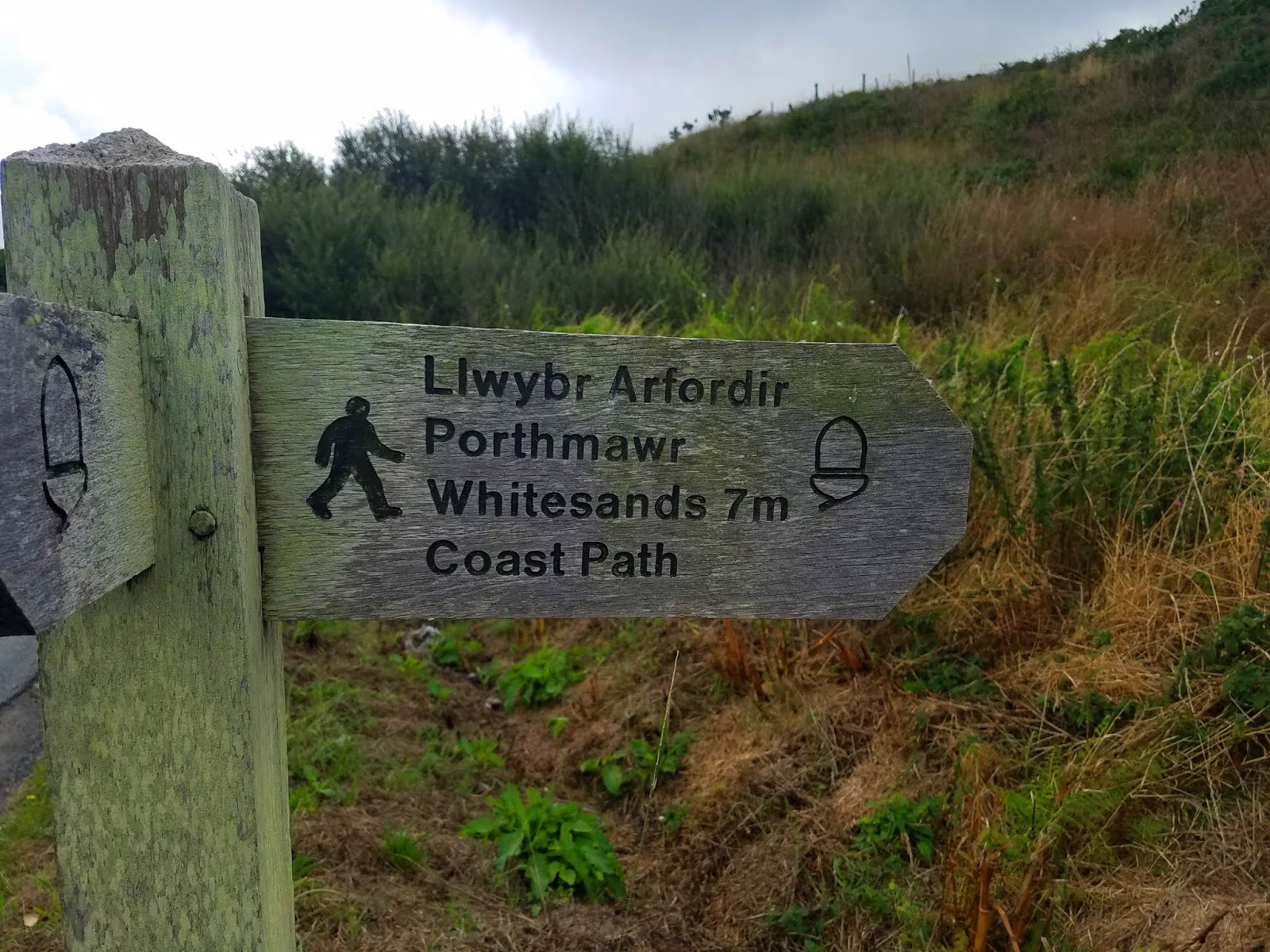
short ways up a narrow road to an acorn fingerpost directing us back to the
cliffs. Still going in the right direction to Whitesands!


How to cross a stile
The first “bump” we’ve been walking towards all day is Carn
Penberry (Penbiri). It reminds me of Pilot Mountain in North Carolina (without
trees). The P’shire passes between the hill and the sea, and other trails
circle around it and up to its summit. (Here is a 9-mile loop hike from the village of
St. David’s to Penbiri to the peninsula). Next time – for sure!


Looking back over my shoulder to Penbiri

Danny and I walked naturally within sight of each other,
sometimes leap frogging if I stepped off to a side path or she stopped to take
photos. As we approached St. David’s Head (a headland that separates the Irish Sea from the Celtic Sea and not to be confused with St. David's Peninsula) I was overwhelmed
by the acres of heather and yellow gorse crowding up through the rocks. Have
you ever taken dozens of photos of the very same thing, trying to capture the
essence of it, the feeling of being with it, knowing that any two-dimensional
rendering will not do it justice?


Danny’s red backpack moved farther ahead, but I still had
her in my sights until – like those sheep – she vanished. I didn’t worry, but I began to notice that
the path had divided into multiple paths criss-crossing up and out onto the
peninsula. Now Danny was truly out of
sight. I stopped at a trail intersection (no signage – did they run out of
those awesome acorn fingerposts?) and began to reason out a direction to take.
At that moment, a couple that we had seen and chatted with several
times along the P’shire came around the bend from the high end of the
peninsula, and I asked them if they had seen Danny. No, but we’ll keep an eye
out and let her know that you are behind us.
They were fast hikers and I hoped that they would cover ground and
deliver the message.
Soon, the woman came walking quickly back toward me: they
had seen Danny ascending a path that they believed was the wrong one and she didn’t
hear their calls. The woman turned back
towards me while the man ran up the path to overtake her. A high speed chase on the P’shire! Danny and
Sharon were reunited, thanked our trail angels (Simon and Karen) profusely, and once
again we turned our steps towards Whitesands. [Turns out there were many paths to Whitesands and Danny and I would have wound up there together soon enough.]

Whitesands Beach was swarming with people and I felt out of
place in my hiking garb and backpack. A young man (Robin) asked if he could
tell me about the Coastal Rescue nonprofit organization, and something made me
say yes. (He was awfully cute.) He asked where I was from, and it turns out he
was born in Raleigh, North Carolina! His parents brought him to Wales as an infant. He has
an American passport but has not yet visited the States. I told him to wait a couple more years.

Danny went into the snack bar ahead of me. When I walked
inside, there she was with Simon and Karen, treating them to refreshments. They were
using the local bus service to walk sections of the P’shire and shuttle to
their accommodations. Karen is a psychiatrist who works with schoolchildren and
Simon teaches at seminary for the Church of England. Now you know! A lovely way
to end the day.

But it’s NOT over yet!
Our own shuttle taxi took us to our night’s lodging in St. David’s (Ty Helyg B&B). Excellent hosts Greg and Elin
welcomed us with smiles and clean towels.


We dropped our packs, cleaned up, and hurriedly walked into
the town center to see St. David’s Cathedral. [St. David is the patron saint of Wales.] This was a highlight of Danny’s
plans and, sadly, we were too late to go inside. No dinner reservations, so we ate a quick meal at The Bishops, remembering to toast the day’s adventures. Today emphasized that as we walk into more populated places, the people along the P'shire will become an important part of this story.

From
there we parted ways, Danny to walk around the cathedral grounds and me back to
the B&B. Someone handed me ice cream along the way.

St. David's Cathedral: the current structure was commenced in 1180 and took several centuries to complete in its current form. St. David's relics rest in the cathedral. The official website is here

[Note: if you’re planning a trip, include an extra day or
two to explore the village, the cathedral, and the peninsula of St. David’s,
where there are extensive artifacts from the Iron Age and earlier.]
“I still find each day too short for all the thoughts I want to
think, all the walks I want to take, all the books I want to read and all the
friends I want to see.” ~John Burroughs
No comments:
Post a Comment