
Tour du Mont Blanc: Col
de la Forclaz to Tré-le-Champ – 7/18/16 – 12.3 Miles
Planners take note: Yummy
croissants and jam are not enough fuel for a hiking day. The Hotel du Col de la Forclaz’s breakfast
looked, smelled and tasted delicious, but was short on protein (cream cheese?). The takeaway lunch for two was also
skimpy. Have a few protein bars stowed
in your backpack for this section of the TMB.
Jim and I made it all the way across the paved road before
taking our packs off to check out a souvenir shop opened early – this is Tour
de France day! Jim got a great deal on a
Col de la Forclaz cycling jersey and I paid entirely too much for a cowbell for
the Christmas tree (yes, I did).

We started the day with Amy, backtracking for a few minutes
on the Bisse du Trient and then descending a steep path to cross the paved road
again. The signage has gotten more
complicated and it is more important than ever to know all the waypoints to our
final destination. The green TMB signs
are ambiguous; the itty bitty red-and-white blazes for the TMB going through
Trient and Le Peuty to Col de Balme are for us.
(This sign seems to say that Col de Balme is in both directions?) The Col de Balme is our last mountain pass of the TMB which will return
us to France.


Early morning Trient


Walking through the Vallon de Nant Noir – Trient
Glacier in the upper left

Trient Glacier

Looking back to say goodbye to Trient
Here on Day 8 at last I was familiar with the pattern: at the far end of the meadows we crossed the
Nant Noir stream, then the trail entered the forest and climbed steep
switchbacks, heat building up. Just before we popped out of the trees we took a
break to eat a Clif bar (so glad I carried these for eight days) and apply
sunscreen for the deceptively long distance to the Col de Balme. Along this forest section we leap-frogged a
young couple who would help us out later in the day.
Beyond the trees the grade moderated and opened to a spectacular,
surreal valley view on this clear, cloudless day.


In the saddle between the mountains: Refuge du Col de
Balme

Zig-zagging TMB

Alpenrose, more zig-zags and teeny Trient in the
valley

In the distance to the right, snow pockets

See the tiny dots on the snow field? Peeps crossing!
This looked insane, even more so when I became one of them


The white bump in the center = Mount Blanc


Bonjour France! Mont Blanc dominates the horizon as
Chamonix nestles in the Vallée de l’Arve
An intense blue sky and no wind - let's eat our lunch à l’extérieur. Two sandwiches, two apples, one coffee-flavored yogurt and two melted chocolate bars. Bon appetite!


This area just happens to have the TMB running past it. There are myriad hiking trails from the
valley up to Col de Balme and it is a premier skiing paradise in the
wintertime. We didn’t go inside the
refuge (crowded) except to inquire about bathrooms, and I was directed around
the side of the building to a miserable portajohn with a rusty door and a hole
in the floor, evoking memories of Peru.
Not impressed, France.

The trouble began as we stood at the signpost for the next leg of
the day’s hike. There are many trails intersecting
in addition to the TMB and I couldn’t sort out the sign. The TMB arrows didn’t indicate anything at
all and I only realized in hindsight (that night) that Col de Posettes was the next
landmark we needed en route to Tré-Le-Champ. We tentatively started in one direction, and
then I second guessed and we changed to a different path. My punishment was crossing three treacherous
snow fields to an intersection that was obviously wrong. So… back across the snow fields.


Must go all the way back. Will this be the last sight I see before I
meet my Maker?
SO…Back to the signpost at Col de
Balme. I felt fretful at my
mistake. When conditions in real life
don’t match the map, I doubt myself rather than thinking the maps are crappy. In this case, though, the maps really were inadequate
for the tangle of trails we faced. By
now we’d hiked a few extra miles, I was feeling fatigued, and we still weren’t
sure of the route. We started again in
the direction we first tried.

At the next signpost, we knew we were
now at the Col des Posettes, but confusion still reigned. Do we want to go the high route via
Aiguellette des Posettes or do we want the low route through the village of Le
Tour? The young couple we’d encountered
earlier in the forest was studying the sign, too. At this point I was not a fan of the high
route, particularly if I didn’t 100% know where it led. So Jim and I chose (unintentionally) a
mid-level route that was a delightful balcony walk, lovely flowers and a front
row view of the Mont Blanc range.

The trail going up the center
leads over Aiguillette des Posettes – next time we’ll take it

But we’re taking this one


Glacier du Tour
As fantastic as this trail was, and
although we knew we were headed in the right direction, a couple of trail
intersections had no indications of the TMB.
We were overtaken by an energetic hiking group going in our direction
and, between their limited English and our utter lack of French, they
understood that we were trying to get to Tré-Le-Champ. They indicated we should keep going… but where? They disappeared in a
flash and Jim and I kept trekking.
At the next intersection, our new hiking
friends were waiting for us to make sure we took the correct direction – very
kind to look after the Americans! From
that point we followed the trail to the inevitable steep downhill back into a
forest, twisting and turning to reach a group of buildings and our home for the
night, gîte Auberge la Bourne. We
arrived at the respectable hour of 4:00 p.m., having walked 12.3 miles instead
of our expected 8.4.


Aiguille du Tour
Auberge la Bourne consists of an
18th century building that has endured additions on all sides and
enclosing the original roof. It’s unlike
any hostel or hotel or…anything I’ve ever seen.
They offer campsites, too, or you can buy just a meal while passing
through. Check out the photos on their website and you still won’t understand
its construction. Small rooms with bunk
beds tucked everywhere, all different, tiny toilet rooms fashioned from closets
and tinier shower stalls fashioned from cupboards. There was an attic of sleeping space that I
stuck my head into. One adult half-board per night is 44€, worth it just to
ramble around and explore, and you get supper and breakfast to boot.


Eight bunks in our assigned
room, three high on one side, one turned sideways under the eaves, totally inadequate
lighting, watch your head!

The communal washroom sink
was a huge wooden trough with four faucets

Boot rack by one of the
staircases

The emergency evacuation
plan did not make us feel safer

Dinner prep - notice the cupboards with keyhole openings to reach inside


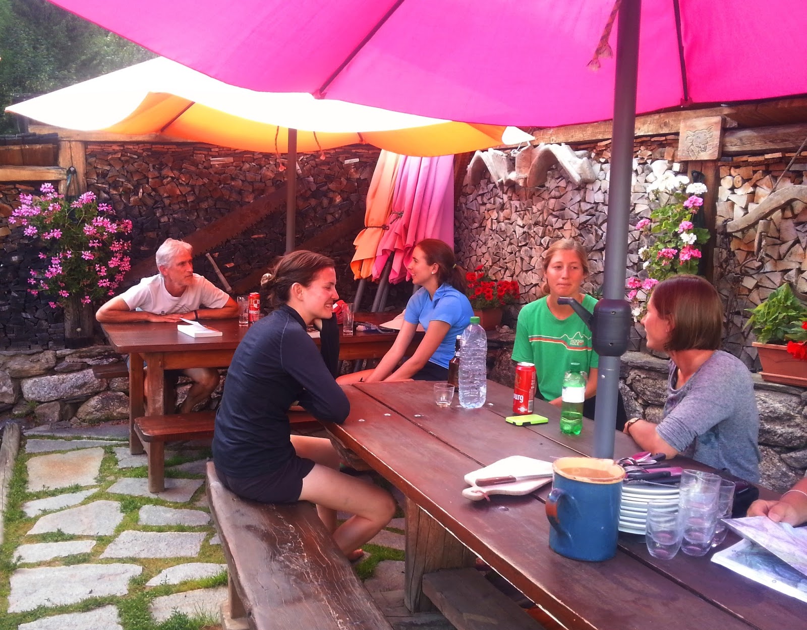
Jim was popular with the
young ladies
I met a young Canadian woman named
Kristen who was hiking the TMB solo, tent camping seven days so far, and she
planned to complete her circuit tomorrow in Chamonix. She seemed eager to chat, had spent most of
her time alone, moving faster than most hikers, and she admitted that she
wasn’t really enjoying her experience. I
introduced Kristen to the other young women we knew, and she perked up at the
chance to socialize.
The weather was cooperating so
well that the staff served dinner outside.
Jim and I were seated with two other couples, one of them the young
couple we’d leap-frogged with and conferred with about the trail
confusion. They were from Bulgaria and
were hiking a three-day section. The
other couple was from Brussels, and they were also camping. Dinner was perfection
with local ingredients: fresh salad and dressing, white rice, lamb in white
peppercorn sauce, a cheese course of gruyere, brie and something stronger,
loaves of fresh bread, and fresh yogurt for dessert to which our Bulgarian
friends coaxed us to add sugar (it was delicious).
Everyone at our table spoke
English. We talked about outdoor gear,
places in their countries that they like to hike and camp, and we sang the
praises of American national parks. When the conversation turned towards
politics, the man from Brussels observed that the whole world was a bit crazy
these days. When Jim said we were
happily out of the news loop, the fellow joked, “I heard today that Donald
Trump has been named President.” We all
laughed uproariously and said that in that case we would not return to the
U.S.
Aaaahhh. If only we could turn back time.
Miles: 12.3 Elevation gain:
3,635 feet Elevation loss: 3,983 feet
“He who climbs upon the highest
mountains laughs at all tragedies, real
or imaginary.” ~Friedrich Neitszche
No comments:
Post a Comment